What is recorded here
One of two unlcoated watermills (LI015-095----) standing on the River Clydagh in the townland of Turagh on the parish boundary with Doon. Seymour (1907, 371) recorded the following details about Tuogh Castle (LI015-079----); 'The Down Survey notes that "there is at Tuogh Killuragh a Castle [LI015-079----] in repaire, and a Stonehouse [LI015-048----] in repaire, and Six Cabbins" (this last is evidently the village alluded to above); while the Civil Survey speaks of "Tuogh and Pallisbeg, two ploughlands with a castle in repaire, a Bawen, a stone-house [LI015-048----], an Orchard, two mills seate, and the demolished Castle of Pallisbeg [LI015-047----]." The Mac Brien family owned these castles and lands'.
Westropp (1906-7, 100-1) recorded the following details about two mills standing on the River Glydagh; 'Tough and Pallisbeg C[astle] in repair, bawen, orchards, and two mill seats on the river Glydagh held by Teige O'Brien (C.S., xxs.; p. 8, B.D., p. 115)'. The 1654-56 Civil Survey recorded that Tadhg O'Brien was the owner of the lands of 'Towgh an Pallicebeg' on which there stood a 'Castle [Tuogh Castle] in repaire a Bawen a stone house [LI015-048----] an Orchard two Millseates and the Demolished Castle of Pallicebeg [LI015-047----]' (Simington 1938, 8).
Compiled by: Caimin O'Brien
Date of upload: 2 July 2020
The monument record does not grant public access. Check the route and ask the landowner before entering private land.
- What survives
- Recorded monument
Places near here
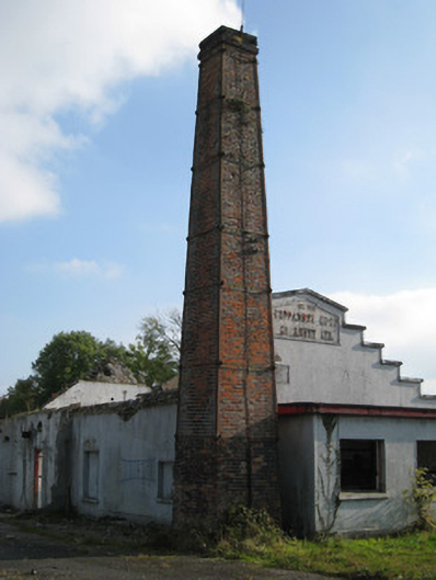 Cappamore Co-Operative Creamerycreamery, chimney · 452 yd
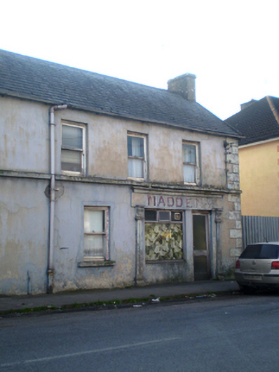 Madden'shouse · 473 yd
 CastleCastle, unclassified · 773 yd
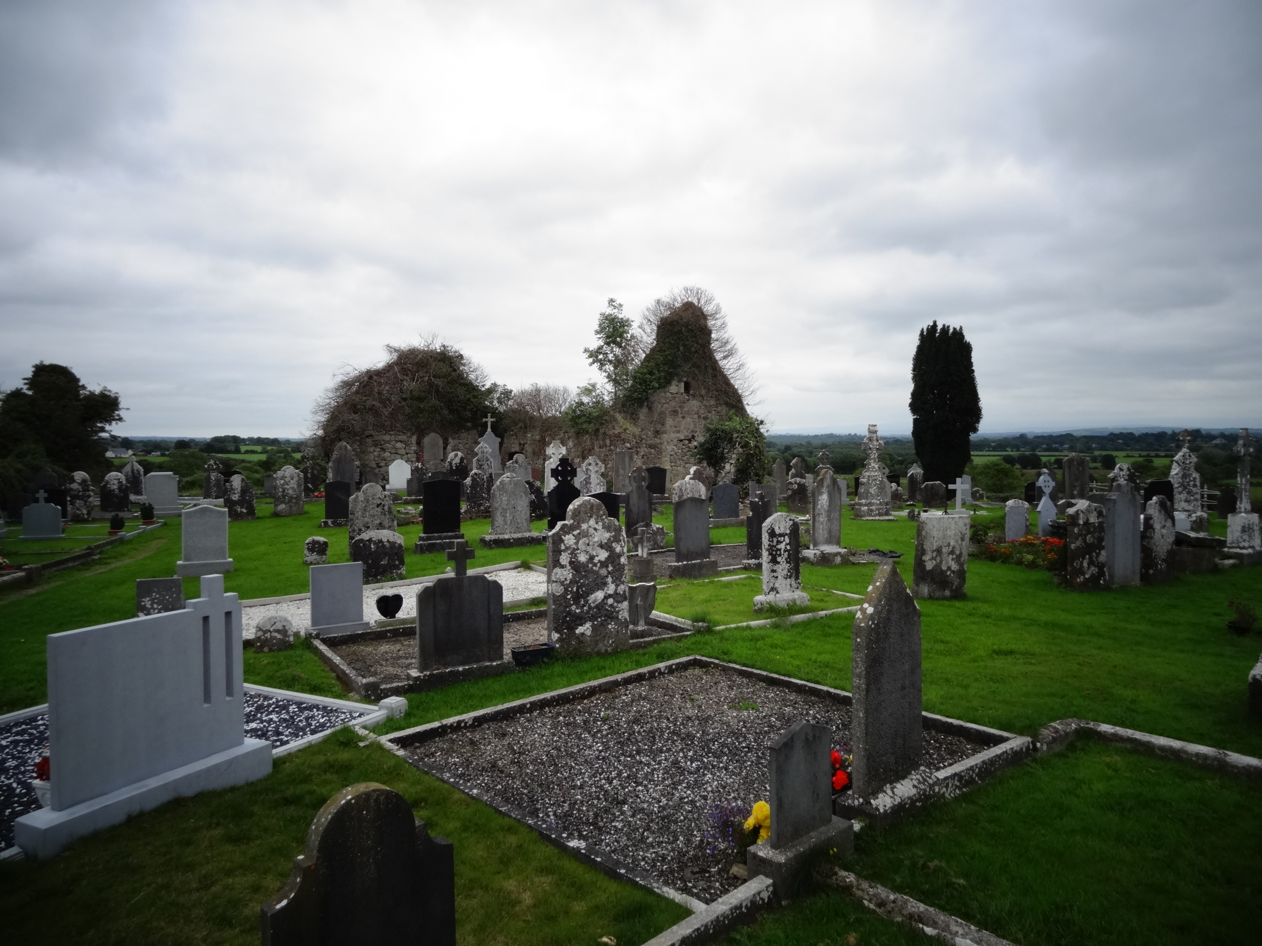 Grave YardGraveyard · 1304 yd
 Tower HillCastle, unclassified · 1.1 mi
 Enclosure in CastlegardeEnclosure · 1.3 mi
 ToberagaddySpring · 3.2 mi
 KnockseefinMountain / peak · 3.6 mi
 Sliev Felim WayVisitor information · 3.8 mi
 Graveyard in AbingtonGraveyard · 3.9 mi
 Slieve FelimMountain / peak · 4.5 mi
 St. Patrick's WellSpring · 6.3 mi