What is recorded here
Situated at the base of a W-facing slope, in poorly drained undulating pasture with good views to N and S. Identified from aerial photography (Bruff Survey: Map 15, no 32; 4/3727) as a possible circular enclosure. There was no evident trace of the monument when the site was inspected.
From the National Monuments Service (Archaeological Survey of Ireland) record LI015-064
The monument record does not grant public access. Check the route and ask the landowner before entering private land.
- What survives
- Recorded monument
Places near here
Photo credits
- Mike Searle, Geograph · CC BY-SA 2.0
- John, Geograph · CC BY-SA 2.0
- National Inventory of Architectural Heritage
- Mike Searle, Wikimedia Commons · CC BY-SA 2.0
- Graham Horn, Geograph · CC BY-SA 2.0
Enclosure in ClogherEnclosure · 162 yd Castle GardeCountry house, castle/fortified house · 461 ydEnclosure in CastlegardeEnclosure · 587 ydBlackboy BridgeBridge · 1.3 miOld BridgeBridge · 1.3 miCappamore Co-Operative CreameryCreamery, chimney · 1.3 miCappamore BridgeBridge · 1.4 miMadden'sHouse · 1.4 miCoonagh CastleCastle · 2.5 miKilduff Castle (in ruins)Castle, tower house · 2.5 miToberagaddySpring · 2.5 miKnockseefinMountain / peak · 3.3 mi
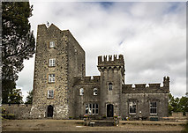 Castle GardeCountry house, castle/fortified house · 461 ydEnclosure in CastlegardeEnclosure · 587 yd
 Blackboy BridgeBridge · 1.3 mi
 Old BridgeBridge · 1.3 mi
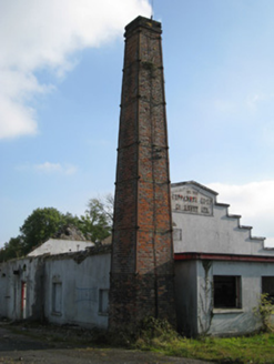 Cappamore Co-Operative CreameryCreamery, chimney · 1.3 mi
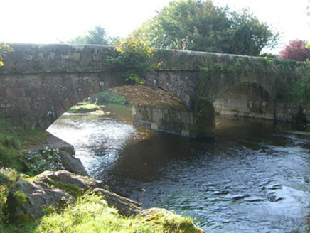 Cappamore BridgeBridge · 1.4 mi
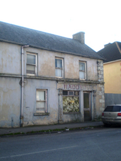 Madden'sHouse · 1.4 mi
 Coonagh CastleCastle · 2.5 mi
 Kilduff Castle (in ruins)Castle, tower house · 2.5 miToberagaddySpring · 2.5 miKnockseefinMountain / peak · 3.3 mi
More archaeology and monuments in County Limerick · All of County Limerick
What do you know about this place?