What is recorded here
Five farm buildings now crowd the thirty-metre circle, proving that human hands have always wanted to claim the ridge. The old scarp still stands two metres high beneath the modern ramp, marking the exact line where the field bank cuts through the middle. People may have lived inside the ring before the drain split it, but the stones and soil have kept the shape while the purpose changed.
Located on a SE-NW spur or ridge. This is a raised circular area (diam. 29.6m NE-SW; c. 30m NW-SE) defined by an overgrown scarp (at SW: Wth 7m; H 1.8m; at NE: Wth 10m; H 2.7m) with some evidence of stone-facing. There is no visible fosse and the original entrance is not identified. The interior is bisected by a NW-SE field bank and drain, which is also the townland boundary with Tullynaskeagh West on the NE side. The perimeter is modified SE-SSE to provide a modern ramp entrance. There are now farm buildings in the interior (Bing 2013). The site of rath (MO031-079----) is c. 70m to the SE.
The above description is derived from the published 'Archaeological Inventory of County Monaghan' (Dublin: Stationery Office, 1986). In certain instances the entries have been revised and updated in the light of recent research.
Date of revision: 31 July 2017
The monument record does not grant public access. Check the route and ask the landowner before entering private land.
- What survives
- Recorded monument
Places near here
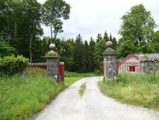 Lough Fea Housedemesne walls/gates/railings · 1350 yd
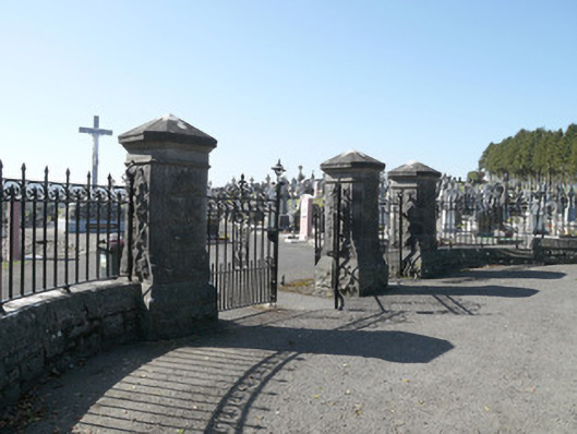 Saint Joseph's Cemeterygates/railings/walls · 1.0 mi
 Monkey-puzzleMonkey-puzzle · 1.0 mi
 CrossCross, Churchyard cross · 1.1 mi
 Crannog in Drummond OtraCrannog · 1.1 mi
 European BeechEuropean Beech · 1.2 mi
 Flat cemetery in AnnaheanFlat cemetery · 3.3 mi
 Lagan castleCastle, tower house · 3.7 mi
 BarleyhillMountain / peak · 3.7 mi
 Mannan Castle (in ruins)Castle, Anglo-Norman masonry castle · 3.7 mi
 Drumerlough MoreMountain / peak · 4.0 mi
 Natural Play AreaMemorial · 4.1 mi