
What is recorded here
Situated at the S end of the small narrow lake of Lisanisk (dims c. 400m NNW-SSE; c. 80m E-W at S to c. 150m E-W at N) c. 15m from the old shore. This is a circular overgrown cairn (diam. 14m; H 0.5m) with no structural features visible.
The above ption is derived from the published 'Archaeological Inventory of County Monaghan' (Dublin: Stationery Office, 1986). In certain instances the entries have been revised and updated in the light of recent research.
Date of revision: 28uly 201
The monument record does not grant public access. Check the route and ask the landowner before entering private land.
- What survives
- Recorded monument
Places near here
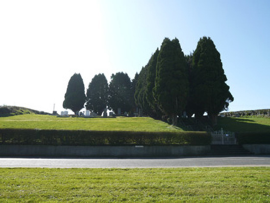 God's Acregraveyard/cemetery · 120 yd
 IndicatedCrannog · 319 yd
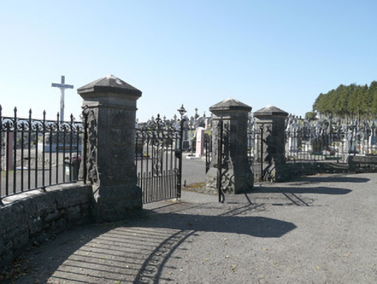 Saint Joseph's Cemeterygates/railings/walls · 454 yd
 Man-made underground passage in TrostanMan-made underground passage · 962 yd
 Horse-chestnutHorse-chestnut · 1.3 mi
 European BeechEuropean Beech · 1.4 mi
 Mannan Castle (in ruins)Castle, Anglo-Norman masonry castle · 2.6 mi
 TobernagalliaghSpring · 3.6 mi
 Flat cemetery in AnnaheanFlat cemetery · 3.9 mi
 Drumerlough MoreMountain / peak · 4.7 mi
 BarleyhillMountain / peak · 4.8 mi
 Natural Play AreaMemorial · 5.1 mi
Other information
Photo: Credit not shown in the picture search · Rights wording not checked; contact us if this picture should be removed