
What is recorded here
Located towards the bottom of the S-facing slope of a drumlin. A Man-made underground passage came to light in May 1963 and it was recorded by Ellen Prendergast of the National Museum of Ireland, but it could not be preserved. A subcircular chamber (int. dims 2.5m x 3m; H 2.5m) of rough corbelled walls had three drystone walled and lintelled passages radiating from it. At S an entrance (Wth 0.42-0.5m; H 0.55m) led to a passage (visible L 2m) and at NW an entrance (Wth 0.6m; H 0.65m) led to a passage (visible L 2m) but an entrance at N was completely blocked. Its precise location is not known now. (NMI, Topographical file)
The above description is derived from the published 'Archaeological Inventory of County Monaghan' (Dublin: Stationery Office, 1986). In certain instances the entries have been revised and updated in the light of recent research.
Date of revision: 28 July 2017
The monument record does not grant public access. Check the route and ask the landowner before entering private land.
- What survives
- Recorded monument
Places near here
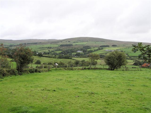 IndicatedRoad, hollow-way · 522 yd
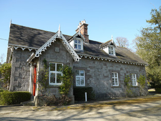 Corcrin Househouse · 644 yd
 Crannog in Drummond OtraCrannog · 962 yd
 Tober InverHoly well · 1.1 mi
 Horse-chestnutHorse-chestnut · 1.8 mi
 European BeechEuropean Beech · 1.9 mi
 Mannan Castle (in ruins)Castle, Anglo-Norman masonry castle · 2.7 mi
 Flat cemetery in AnnaheanFlat cemetery · 3.6 mi
 TobernagalliaghSpring · 3.8 mi
 BarleyhillMountain / peak · 5.1 mi
 Drumerlough MoreMountain / peak · 5.2 mi
 Castle ruinsCastle, unclassified · 5.6 mi
Other information
Photo: Credit not shown in the picture search · Rights wording not checked; contact us if this picture should be removed