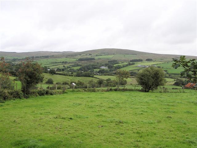
What is recorded here
Located on a slight N-facing slope down to a small canalized WSW-ENE stream (L c. 400m) connecting Lough Naglack just to the W with Moynalty Lough c. 400m to the E. The line of an old road is depicted faintly on the 1834 edition of the OS 6-inch map approaching Broken Bridge from the S while the present line is depicted running parallel with it just to the W. A hollow way (L c. 200m) is visible as a sunken area (Wth of top c. 4.5m; Wth of base 2.75m; D 0.6-0.75m) with a straight edge on the W side running S-N towards the bridge, which is probably an eighteenth century structure with one arch (Coughlan 2003, Fig. 22, Pl. 17). Archaeological testing (02E1212) in four trenches across the N end of the hollow way showed topsoil (D 0.15-0.2m) lying directly on subsoil and produced no datable material (Coughlan 2009, 6-7). Much of the hollow way survives undisturbed in a wood bordering the E side of the present by-road.
Compiled by: Michael Moore
Date of upload: 14 January 2020
The monument record does not grant public access. Check the route and ask the landowner before entering private land.
- What survives
- Recorded monument
Places near here
 IndicatedCrannog · 375 yd
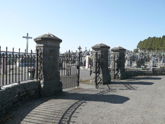 Saint Joseph's Cemeterygates/railings/walls · 416 yd
 Man-made underground passage in TrostanMan-made underground passage · 522 yd
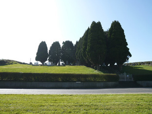 God's Acregraveyard/cemetery · 837 yd
 European BeechEuropean Beech · 1.7 mi
 Monkey-puzzleMonkey-puzzle · 1.7 mi
 Mannan Castle (in ruins)Castle, Anglo-Norman masonry castle · 2.9 mi
 Flat cemetery in AnnaheanFlat cemetery · 3.5 mi
 TobernagalliaghSpring · 4.0 mi
 BarleyhillMountain / peak · 4.8 mi
 Drumerlough MoreMountain / peak · 5.0 mi
 Castle ruinsCastle, unclassified · 5.3 mi
Other information
Photo: Credit not shown in the picture search · Rights wording not checked; contact us if this picture should be removed