What is recorded here
Indicated is a hidden crannog at the NE edge of Carrickevy Lough, mapping a small island that now appears only as an eight-metre earthen mound drowned in reeds. It may have been a household, watchplace or seasonal shelter, but the water has erased the walls and the land has taken back the shape. What remains is a lump of moss, scrub and memory, large enough to imagine and vague enough to resist proof.
Located at the NE edge of Carrickevy Lough (max. dims c. 450m NE-SW; c. 240m NW-SE). It is depicted as a small subrectangular island (dims c. 15m x c. 15m) on the 1911 edition of the OS 6-inch map. A circular earthen mound (diam. c. 8m; H 1m) is covered in scrub and surrounded by reeds, but there is no visible surface evidence of artificial construction.
The above description is derived from 'The Archaeological Inventory of County Leitrim' compiled by Michael J. Moore (Dublin: Stationery Office, 2003). In certain instances the entries have been revised and updated in the light of recent research.
Date of upload: 23 September 2008
The monument record does not grant public access. Check the route and ask the landowner before entering private land.
- What survives
- Recorded monument
Places near here
 Enclosure in CarrickevyEnclosure · 286 yd
 Tobereendoney WellHoly well · 303 yd
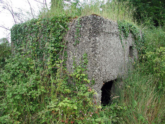 pill boxpill box · 906 yd
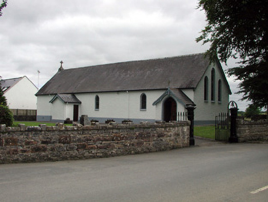 Saint Joseph's Catholic Churchchurch/chapel · 958 yd
 PortCastle, unclassified · 1080 yd
 Sit of Breifny CastleCastle, tower house · 1103 yd
 Shannon-Erne WaterwayVisitor information · 1114 yd
 Battle of Áth an Chipbattle · 1.2 mi
 Leabaidh DermotCave · 1.9 mi
 Sheemore Ambush MemorialMonument · 2.2 mi
 InishnagonIsland · 2.2 mi
 Moon RiverHeritage attraction · 3.1 mi