
What is recorded here
Located in an open landscape with rock outcrop, and situated c. 100m from the SE shore of Carrickevy Lough (max. dims c. 450m NE-SW; c. 240m NW-SE). It is visible as a faint rectangular feature on aerial photographs (GSIAP: G 157-6). This is a grass-covered rectangular area (dims 30m NW-SE; 19m NE-SW) defined by a slight earth and stone bank (Wth 1.25m; max. ext. H 0.35m), with a slight external fosse or ditch (Wth 1.1m) at SW. The perimeter has been levelled at the NW side and for much of the SW. An original entrance is not identified.
The above description is derived from 'The Archaeological Inventory of County Leitrim' compiled by Michael J. Moore (Dublin: Stationery Office, 2003). In certain instances the entries have been revised and updated in the light of recent research.
Date of upload: 23 September 2008
The monument record does not grant public access. Check the route and ask the landowner before entering private land.
- What survives
- Recorded monument
Places near here
 Tobereendoney WellHoly well · 491 yd
 Fairy fort / earthen ringfort in PortFairy fort / earthen ringfort · 644 yd
 PortCastle, unclassified · 1037 yd
 AbbeyChurch · 1089 yd
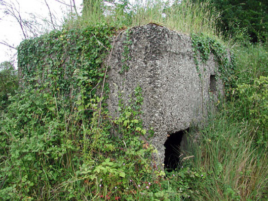 pill boxpill box · 1175 yd
 Sit of Breifny CastleCastle, tower house · 1374 yd
 Shannon-Erne WaterwayVisitor information · 1388 yd
 Battle of Áth an Chipbattle · 1.4 mi
 Leabaidh DermotCave · 1.9 mi
 Sheemore Ambush MemorialMonument · 2.2 mi
 InishnagonIsland · 2.3 mi
 Moon RiverHeritage attraction · 3.0 mi
Other information
Photo: Credit not shown in the picture search · Rights wording not checked; contact us if this picture should be removed