What is recorded here
Situated on a slight rise of ground in undulating countryside. Destroyed in 1974 (Stout 1984, 82). Not visible at ground level.
The above description is derived from 'The Archaeological Inventory of County Tipperary. Vol. 1 - North Tipperary' compiled by Jean Farrelly and Caimin O'Brien (Dublin: Stationery Office, 2002). In certain instances the entries have been revised and updated in the light of recent research.
Date of upload/revision: 22 September 2008
The monument record does not grant public access. Check the route and ask the landowner before entering private land.
- What survives
- Recorded monument
Places near here
 Tullow HillMountain / peak · 693 yd
 Tullow CastleCastle · 1165 yd
 Enclosure in TullowmacjamesEnclosure · 1258 yd
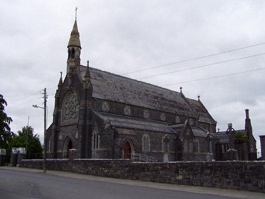 Catholic Church of the Sacred Heartchurch/chapel · 1.3 mi
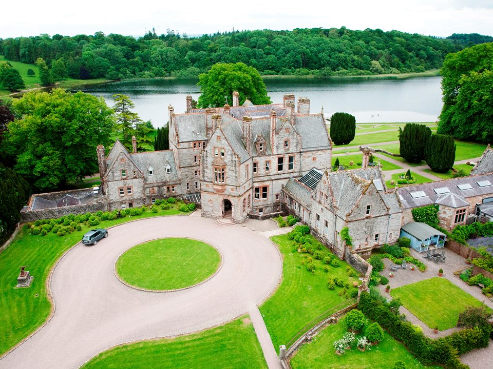 Lisalleen Castle (in ruins)Castle, unclassified · 1.3 mi
 Clonmeen WoodWood · 1.5 mi
 Enclosure in LismurraghaEnclosure · 1.9 mi
 Cnoc SeanrathaMemorial · 4.8 mi
 Devil's Bit MountainMountain / peak · 8.8 mi
 Kilvilcorris BogForest · 9.0 mi
 Pheasant IslandHeritage attraction · 9.6 mi