What is recorded here
Fairy fort in Tullahennel South, County Kerry: a circular earthen enclosure now vanished from the surface, though still drawn on both OS maps. It may have marked a home, a boundary, or a place of exclusion where ordinary people kept their distance. The earth has taken back its shape, but the drawing remains, a ghost line on paper.
Situated immediately NE of KE005-016----, this circular enclosure appears on both editions of the OS maps. No surface trace survives.
The above description is derived from C. Toal, ‘North Kerry Archaeological Survey’. Dingle. Brandon in association with FAS Training and Employment Authority (1995), no. 316. In certain instances the entries have been revised and updated in the light of recent research.
Date of upload: 2 August 2013
The monument record does not grant public access. Check the route and ask the landowner before entering private land.
- What survives
- Recorded monument
Places near here
 Burnt spread in KilgarvanBurnt spread · 1511 yd
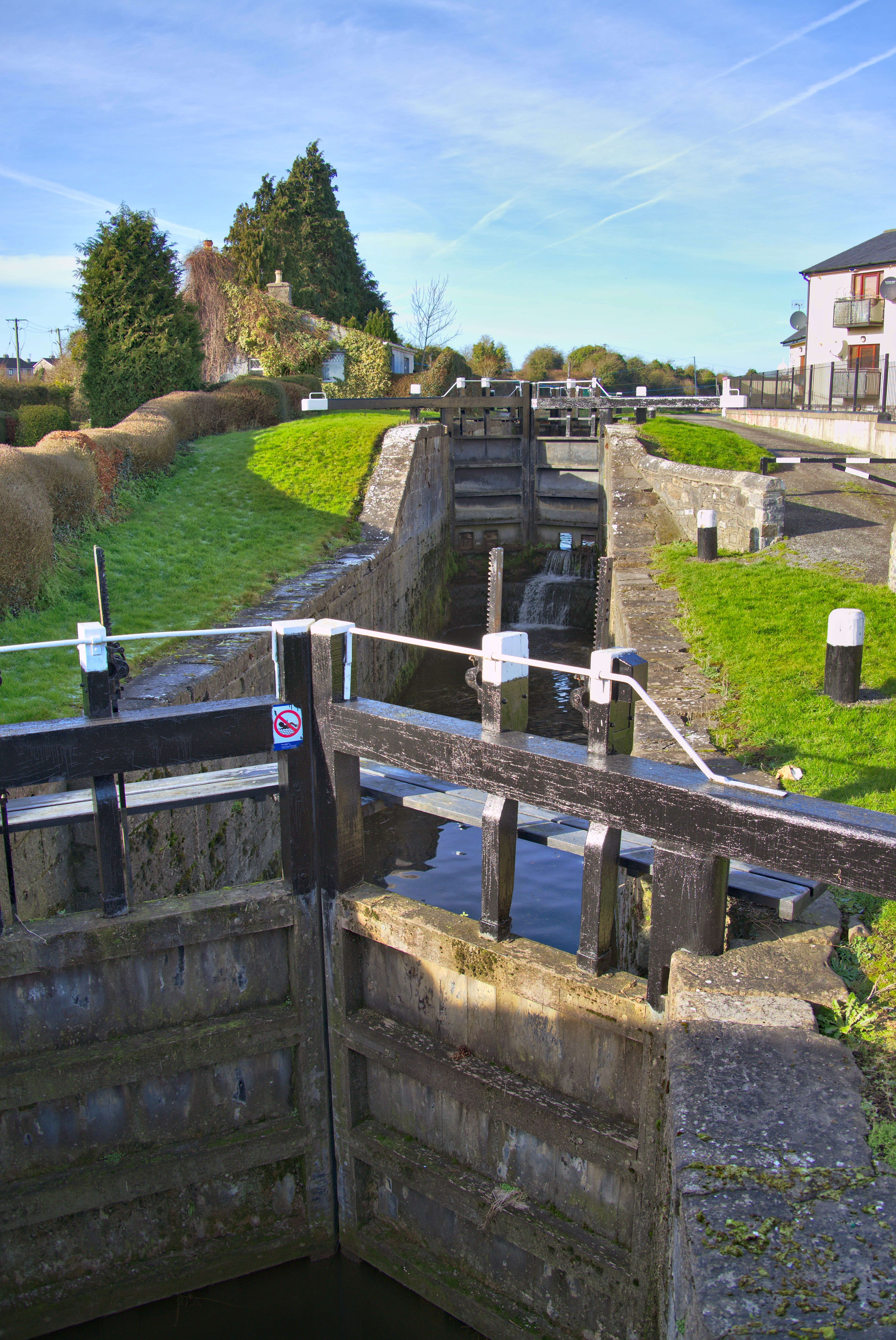 Man-made underground passage in Kilcock LowerMan-made underground passage · 1.1 mi
 Coolbeha Househouse · 2.1 mi
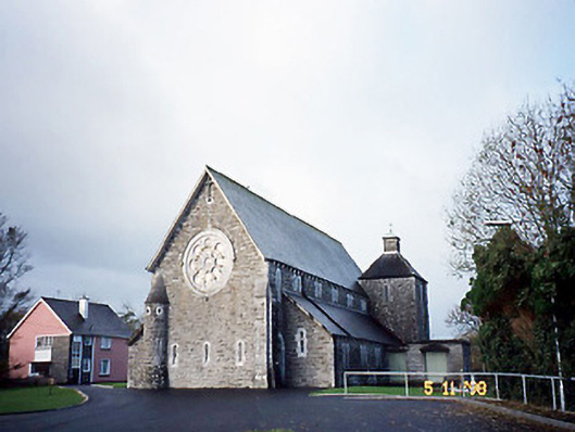 Catholic Church of Saint Michael the Archangelchurch/chapel · 2.5 mi
 Bawn in BallydonohoeBawn · 2.7 mi
 CastleCastle, ringwork · 3.1 mi
 Siege of Carrigafoyle Castlesiege · 3.1 mi
 KnockanoreMountain / peak · 3.2 mi
 Carrig IslandIsland · 3.4 mi
 Beal PointHeadland · 5.1 mi
 Cliffs of DooneenCliff · 5.6 mi
 Scattery IslandIsland · 5.7 mi