
What is recorded here
This site is situated in a large pastoral field. Not marked on any edition of the OS maps, it is a large circular enclosure, very much levelled but still distinguishable. The circular area is enclosed by a low wide earthen bank, and measures N-S 51m internally and 61m N-S externally, and it is 4-7m wide at the base of the bank. The external height of the bank above the surrounding land measures .4m and the internal height a maximum of .4m. This site is locally thought to be a Killeen (KE002-042001-). NE of the site lies Carrigafoyle Church (KE002-043001-) and Carrigafoyle Castle (KE002-045----).
The above description is derived from Toal C. (compiler) ‘The North Kerry Archaeological Survey’. Brandon in association with FAS Training and Employment Authority. (1995) no. 840. In certain instances the entries have been revised and updated in the light of recent research.
Date of upload: 18 June 2013
Carrigafoyle Castle, a 12th-century ringwork, was built by the Fitzgerald family, key Anglo-Norman settlers in Munster. It is remembered as a strategic stronghold during the medieval expansion of Norman influence in Ireland.
The monument record does not grant public access. Check the route and ask the landowner before entering private land.
- What survives
- Recorded monument
Places near here
 Church (in ruins)Church · 131 yd
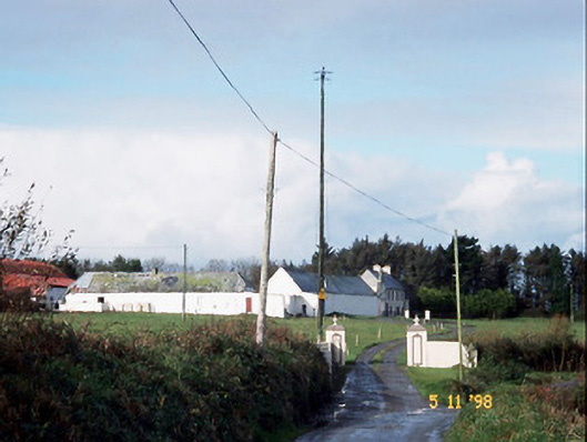 Kilelton Farm Yardfarmyard complex · 165 yd
 Siege of Carrigafoyle Castlesiege · 185 yd
 Carrigafoyle Cas. (in ruins)Castle, tower house · 272 yd
 Carrigafoyle CastleCastle · 274 yd
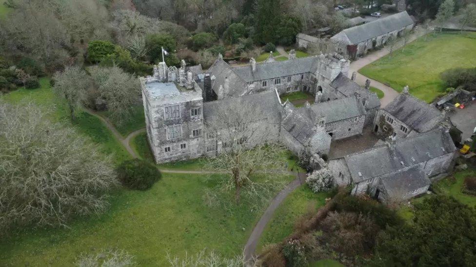 ToberscatteryHoly well · 289 yd
 Causeway in Carrig IslandCauseway · 299 yd
 Carrig IslandIsland · 614 yd
 Fawley's PointHeadland · 3.0 mi
 Scattery IslandIsland · 3.0 mi
 Scattery Island Visitor CentreVisitor information · 3.2 mi
 Cusheen PointHeadland · 3.4 mi
Other information
Photo: Credit not shown in the picture search · Rights wording not checked; contact us if this picture should be removed