What is recorded here
Killelton is a vanished ringfort, visible only through the stubbornness of old maps and the failure of modern soil to remember. It defies the claim that progress means deletion because resistance is not the same as understanding.
This site appears on the 1841-42 and 1914-15 OS maps as a circular enclosure, but no surface trace of it survives today.
The above description is derived from C. Toal, ‘North Kerry Archaeological Survey’. Dingle. Brandon in association with FAS Training and Employment Authority (1995), no. 170. In certain instances the entries have been revised and updated in the light of recent research.
Date of upload: 2 August 2013
The monument record does not grant public access. Check the route and ask the landowner before entering private land.
- What survives
- Recorded monument
Places near here
 TobereltonHoly well · 246 yd
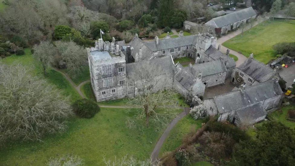 ToberscatteryHoly well · 433 yd
 CastleCastle, ringwork · 703 yd
 Church (in ruins)Church · 812 yd
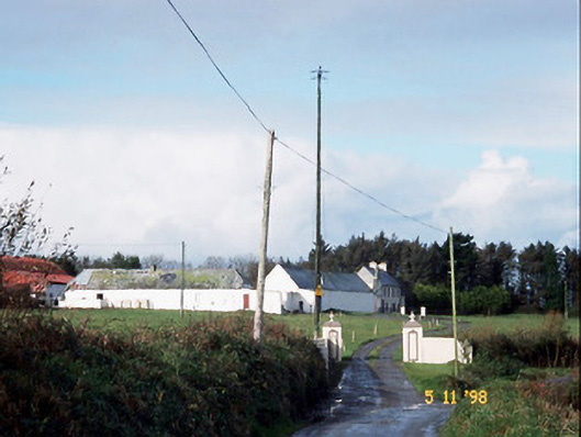 Kilelton Farm Yardfarmyard complex · 857 yd
 Siege of Carrigafoyle Castlesiege · 886 yd
 Carrig IslandIsland · 936 yd
 Carrigafoyle Cas. (in ruins)Castle, tower house · 968 yd
 Fawley's PointHeadland · 2.9 mi
 Scattery IslandIsland · 3.0 mi
 Scattery Island Visitor CentreVisitor information · 3.2 mi
 Cusheen PointHeadland · 3.4 mi