What is recorded here
Marked on the 1841-42 and 1914 OS maps as 'Toberscattery (site of)'. According to the OSNB, it should read 'Tobar Eiltín' - well of Eiltín.
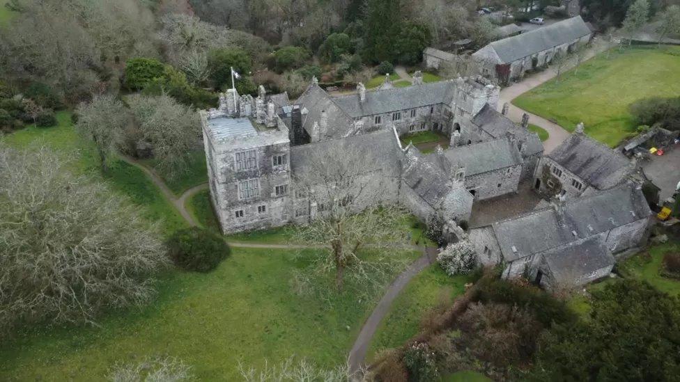
Situation and Description: This well is situated in the grounds of Killelton House. It is about 1m in diameter and is covered by flagstones.
Rounds/Legends/Offerings: The landowner states that he never knew it as a holy well. It is now used by cattle.
The above description is derived from C. Toal, ‘North Kerry Archaeological Survey’. Dingle. Brandon in association with FAS Training and Employment Authority (1995), no. 917. In certain instances the entries have been revised and updated in the light of recent research.
Date of upload: 3 August 2013
Toberscattery is associated with Saint Eiltín, a lesser-known early Irish saint, and is believed to have been a site of pilgrimage and healing. The well's name, Tobar Eiltín, reflects its traditional connection to the saint, though specific cures or rituals linked to the site are not well documented.
The monument record does not grant public access. Check the route and ask the landowner before entering private land.
- What survives
- Recorded monument
Places near here
 CastleCastle, ringwork · 289 yd
 Church (in ruins)Church · 414 yd
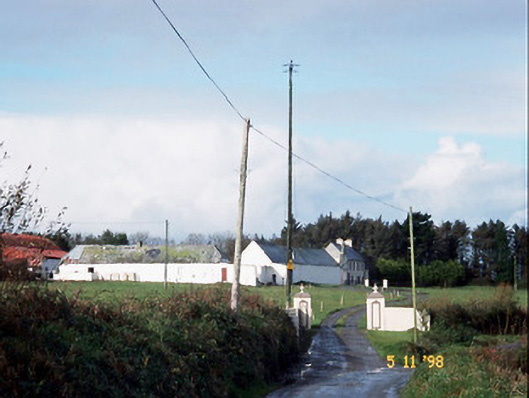 Kilelton Farm Yardfarmyard complex · 429 yd
 Siege of Carrigafoyle Castlesiege · 463 yd
 Causeway in Carrig IslandCauseway · 500 yd
 TobereltonHoly well · 555 yd
 Carrigafoyle Cas. (in ruins)Castle, tower house · 560 yd
 Carrig IslandIsland · 748 yd
 Fawley's PointHeadland · 3.0 mi
 Scattery IslandIsland · 3.1 mi
 Scattery Island Visitor CentreVisitor information · 3.2 mi
 Cusheen PointHeadland · 3.5 mi
Other information
Photo: Credit not shown in the picture search · Rights wording not checked; contact us if this picture should be removed