What is recorded here
Fairy fort / earthen ringfort in Tullagh Upper or Killeenbane is a fairy fort or earthen ringfort in Tullagh Upper or Killeenbane, County Westmeath, Ireland. A 1978 description recorded the site as a roughly circular area enclosed by a low, wide bank of earth and stone, with a possible entrance gap at the south. The external fosse was best preserved from northwest through north to northeast, while the interior was uneven with stony outcrops and largely obscured by dense vegetation. The bank also served as a boundary from east-northeast through east to southeast.
Situated on a slight rise, in pasture, with good views of the surrounding landscape. Monument described in 1978 as a roughly circular-shaped area enclosed by a bank and external fosse with possible entrance gap at S. The low wide bank is of earth and stone and forms a townland boundary with Killeagh and also serves as barony boundary from ENE-E-SE. The fosse is best preserved from NW-N-NE and is poorly preserved elsewhere. The interior is uneven with stony outcrops and is largely obscured by dense vegetation.
Compiled by Alison McQueen, Vera Rahilly and Caimin O’Brien.
Date of upload: 28 August 2019
The monument record does not grant public access. Check the route and ask the landowner before entering private land.
- What survives
- Recorded monument
Places near here
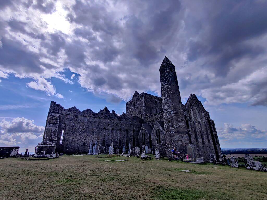 Partially hachuredFairy fort / earthen ringfort · 499 yd
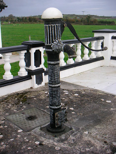 water pumpwater pump · 710 yd
 IndicatedChurch · 835 yd
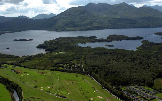 OutlinedFairy fort / earthen ringfort · 928 yd
 Sam's ParkForest · 1699 yd
 CastleCastle, unclassified · 1.0 mi
 Stremmingstown CastleCastle · 1.3 mi
 KnockastiaMountain / peak · 2.4 mi
 Japanese pagoda treeJapanese pagoda tree · 2.6 mi
 Hill of UisneachMountain / peak · 2.7 mi
 Charles BianconiMemorial · 7.1 mi
 The Bob Traynor GalleryGallery · 7.2 mi