What is recorded here
In gently undulating improved pasture. Not shown on any edition of the OS 6-inch map but visible in an aerial photograph (Ordnance Survey 2351/0) as a circular area (diam. c. 8m). Not visible at ground level.
Compiled by: Jean Farrelly
Date of upload: 26 August 2011
The monument record does not grant public access. Check the route and ask the landowner before entering private land.
- What survives
- Recorded monument
Places near here
 Enclosure in Tulla (emly Par.)Enclosure · 108 yd
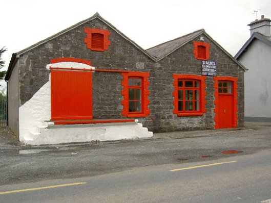 Saint Ailbe's Creamerycreamery · 498 yd
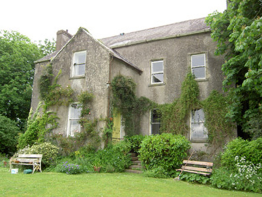 Emly Houserectory/glebe/vicarage/curate's house · 650 yd
 Enclosure in LissobihaneEnclosure · 840 yd
 Glebe Ho.Castle, unclassified · 1.1 mi
 Carn (site of)Cairn, burial cairn · 1.9 mi
 CastleCastle, motte · 2.8 mi
 St Patrick's WellSpring · 3.8 mi
 Saint Patrick's WellSpring · 4.1 mi
 Kilteely HillMountain / peak · 4.8 mi
 Flat cemetery in Knockainy WestFlat cemetery · 5.1 mi
 Oola HillMountain / peak · 5.8 mi