What is recorded here
Six feet tall and no wider than a man’s outstretched arms, Gallán stood in Mrs. Donnelly’s land until removal erased it from the earth. It appeared on maps only after 1904, suggesting human memory or surveyor attention lagged behind the stone’s own quiet permanence. Its disappearance leaves a hole larger than the gap in the ground, because the place now lacks the very marker that gave it shape.
Not shown on 1842 OS 6-inch map; marked 'Gallaun' on 1904 OS 6-inch map and 'Gallán' on 1938 OS 6-inch map. Removed. Possibly stone referred to by Broker (1937, 31) in Mrs. Donnelly's land - 'Gallán, 6 feet high, 3 or 4 feet in girth'.
The above description is derived from the published 'Archaeological Inventory of County Cork. Volume 3: Mid Cork' (Dublin: Stationery Office, 1997). In certain instances the entries have been revised and updated in the light of recent research.
Date of upload/revision: 14 January 2009
The monument record does not grant public access. Check the route and ask the landowner before entering private land.
- What survives
- Recorded monument
Places near here
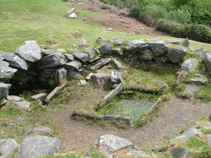 Fulacht FiadhFulacht fia · 438 yd
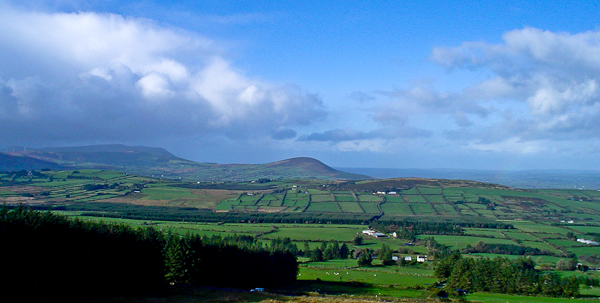 IndicatedFairy fort / stone ringfort · 874 yd
 Caherbarnagh NW TopMountain / peak · 1.2 mi
 Caherbarnagh East TopMountain / peak · 1.3 mi
 Ballydaly Church (in Ruins)Church · 1.9 mi
 Chapel in RathduaneChapel · 1.9 mi
 Nohaval WoodWood · 3.7 mi
 Wildlife of the UplandsVisitor information · 3.8 mi
 Birds of DuhallowVisitor information · 3.9 mi
 Kilmeedy CastleCastle, tower house · 4.2 mi
 RowanRowan · 4.3 mi
 Millstreet Museum & Tourist Information CentreMuseum · 4.3 mi