What is recorded here
Situated in pasture on a N-facing slope, close to a well. There is local information regarding an area of broken and burnt stone (diam. c. 15m) noted during land reclamation. At time of inspection it was not visible at ground level.
The above description is derived from the published 'Archaeological Inventory of County Waterford' (Dublin: Stationery Office, 1999). In certain instances the entries have been revised and updated in the light of recent research.
Date of upload/revision: 04 March 2013
Burnt mound, likely dating to the Neolithic or Bronze Age. Such features are commonly associated with ritual or industrial activities, though their exact function remains uncertain.
The monument record does not grant public access. Check the route and ask the landowner before entering private land.
- What survives
- Recorded monument
Places near here
 Glen Poer WoodForest · 850 yd
 CarrigcoumMountain / peak · 1402 yd
 Man-made underground passage in ScartleaMan-made underground passage · 1405 yd
 IndicatedEnclosure · 1424 yd
 Water millWater mill, horizontal-wheeled · 1.1 mi
 CarrigeenseebohillaMountain / peak · 1.3 mi
 Ballyclohy Castle (in ruins)Castle, tower house · 1.5 mi
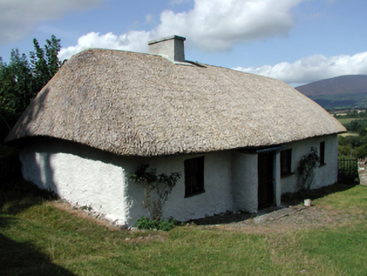 farm housefarm house · 1.5 mi
 Pedunculate OakPedunculate Oak · 1.5 mi
 Castle (in ruins)Castle, tower house · 1.9 mi
 Maurice DavinMemorial · 2.6 mi
 Curraheen TrailsVisitor information · 3.3 mi