What is recorded here
An unseen shadow still falls across Tonagh, casting a long line toward the Foyle even though the stone has vanished beneath the earth. The buried rock may once have stood six feet tall on the rising ground, marking a boundary or guiding a forgotten path. People still point to the empty shoulder as if waiting for the stone to reappear, believing the land remembers what the surface has forgotten.
It is thought locally that a stone, c. 6ft × 3ft × 2ft and now buried, may once have been standing. Situated on a shoulder of a low rise which slopes down SE to the River Foyle.
The above description was derived from the 'Archaeological Survey of County Donegal. A description of the field antiquities of the County from the Mesolithic Period to the 17th century.' Compiled by: Brian Lacey with Eamon Cody, Claire Cotter, Judy Cuppage, Noel Dunne, Vincent Hurley, Celie O'Rahilly, Paul Walsh and Seán Ó Nualláin (Lifford: Donegal County Council, 1983). In certain instances the entries have been revised and updated.
Date of upload: 22 September 2008
The monument record does not grant public access. Check the route and ask the landowner before entering private land.
- What survives
- Recorded monument
Places near here
 Ulster Scots Heritage Centremanse · 626 yd
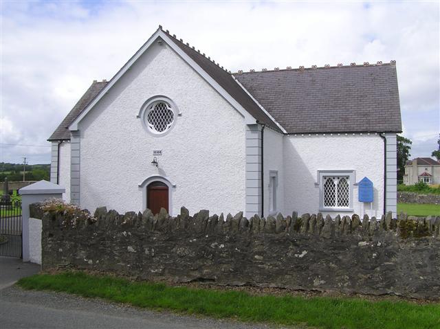 Monreagh Presbyterian Churchchurch/chapel · 701 yd
 IndicatedHoly well · 1744 yd
 Castlethird Stone RingfortFairy fort / stone ringfort · 1757 yd
 CastleCastle, unclassified · 1.0 mi
 Mongavlin CastleHouse, fortified house · 3.2 mi
 Emmery Celtic CrossWood · 3.5 mi
 Gortmonly HillMountain / peak · 3.6 mi
 Prehen WoodsForest · 5.0 mi
 Grianán of AileachFairy fort / stone ringfort · 5.2 mi
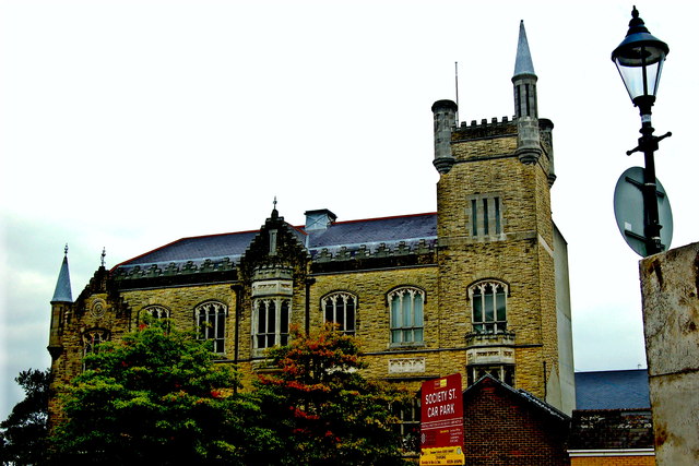 Apprentice Boys of Derry and Siege MuseumMuseum · 6.0 mi
 Diamond War MemorialMemorial · 6.1 mi