What is recorded here
Situated on natural rock outcrop with extensive views. A circular area (diam. 37m E-W) enclosed by a bank (Wth 2.2m; H 0.5m) of mainly stone construction with a possible entrance gap (Wth 2.5m) at E. The interior is very uneven due to natural rock outcrop with quarry-holes evident in the W sector. A field fence, extending SW-NE, cuts through the NW sector of the site, destroying the bank.
The above description is derived from 'The Archaeological Inventory of County Tipperary. Vol. 1 - North Tipperary' compiled by Jean Farrelly and Caimin O'Brien (Dublin: Stationery Office, 2002). In certain instances the entries have been revised and updated in the light of recent research.
Date of upload/revision: 22 September 2008
The monument record does not grant public access. Check the route and ask the landowner before entering private land.
- What survives
- Recorded monument
Places near here
 Enclosure in Rathmore (borrisokane Par.),tombrickaneEnclosure · 1488 yd
 Tombrickan CastleCastle · 1572 yd
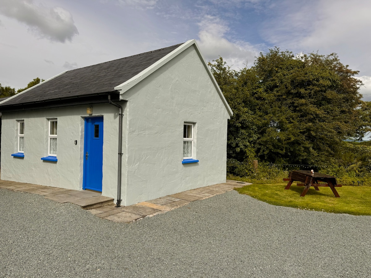 Enclosure in Rathmore (borrisokane Par.)Enclosure · 1682 yd
 Borris WoodWood · 1.1 mi
 Kyle Parkhouse · 1.3 mi
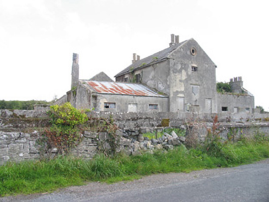 Kyle Park Schoolschool · 1.4 mi
 Ballyfinboy Castle (in Ruins)Castle, tower house · 2.0 mi
 Slevoir BayBay · 3.7 mi
 Grassy IslandIslet · 4.2 mi
 Brieny IslandIslet · 4.2 mi
 Black mulberryBlack mulberry · 5.1 mi
 Portumna Castlegate lodge · 5.4 mi