
What is recorded here
Situated in woodland on low rock outcrop in undulating countryside. Natural rock outcrop partially enclosed by an earth and stone bank of field clearance debris from N through E to S. No evidence of an enclosing element from S through W to N.
The above description is derived from 'The Archaeological Inventory of County Tipperary. Vol. 1 - North Tipperary' compiled by Jean Farrelly and Caimin O'Brien (Dublin: Stationery Office, 2002). In certain instances the entries have been revised and updated in the light of recent research.
Date of upload/revision: 22 September 2008
The monument record does not grant public access. Check the route and ask the landowner before entering private land.
- What survives
- Recorded monument
Places near here
 Borris WoodWood · 450 yd
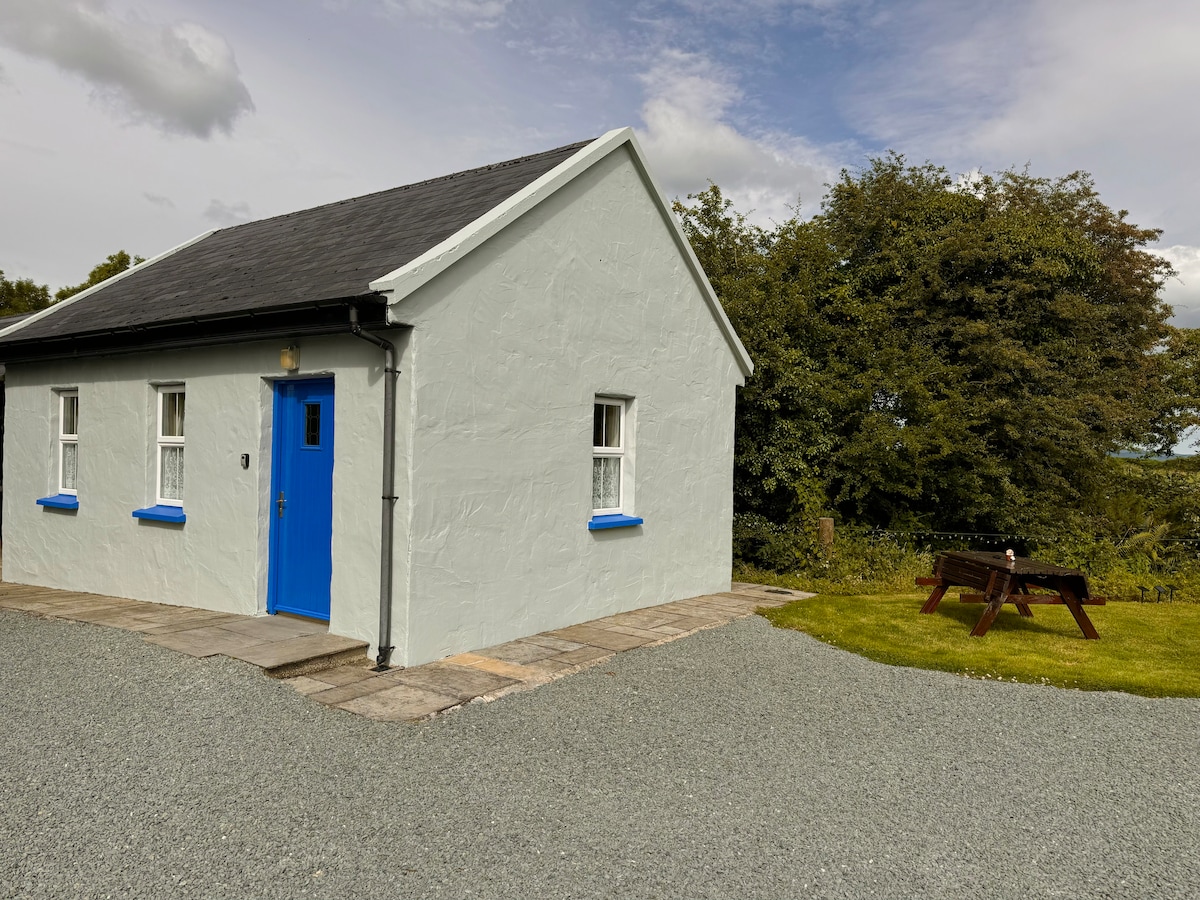 Enclosure in Rathmore (borrisokane Par.)Enclosure · 640 yd
 RathmoreFairy fort / earthen ringfort · 1387 yd
 Tombrickan CastleCastle · 1.0 mi
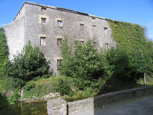 mill (water)mill (water) · 1.2 mi
 miller's housemiller's house · 1.2 mi
 Ballyfinboy Castle (in Ruins)Castle, tower house · 1.3 mi
 Slevoir BayBay · 4.6 mi
 Grassy IslandIslet · 4.7 mi
 Brieny IslandIslet · 4.7 mi
 Carrickboy WoodForest · 5.3 mi
 MacDonagh HouseMemorial · 6.3 mi
Other information
Photo: Credit not shown in the picture search · Rights wording not checked; contact us if this picture should be removed