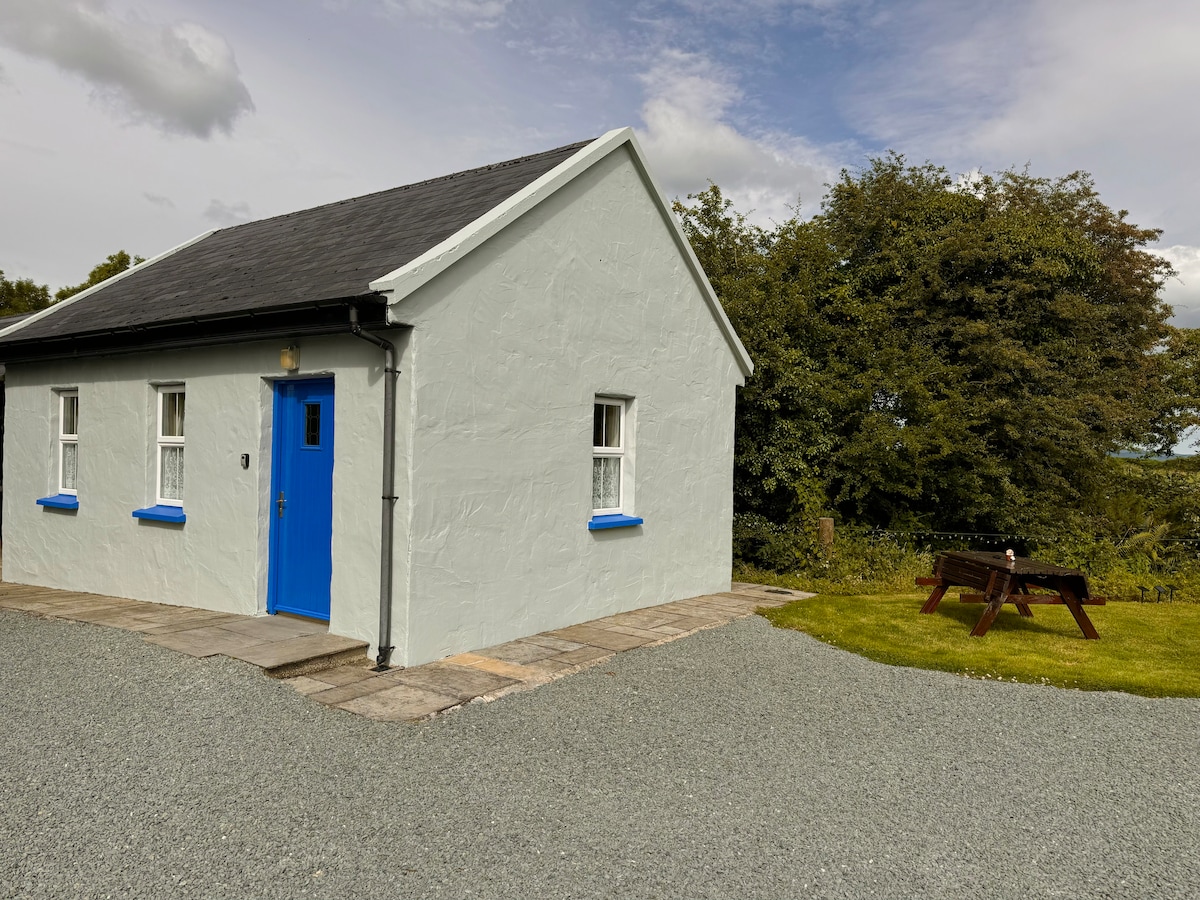
What is recorded here
Listed in the SMR (1992) as an enclousure and in the RMP (1998) as a tree ring site. Field inspection in 1995 established that there were no surface remains visible. Site is depicted as a circular enclosure on the 1st (1843) ed. OS 6-inch map and is hachured on the 2nd (1903) ed. OS 6-inch map.
Compiled by: Jean Farrelly and Caimin O'Brien
Date of upload/revision: 22 September 2008
A local fairy fort (ringfort/rath); wider significance not recorded.
The monument record does not grant public access. Check the route and ask the landowner before entering private land.
- What survives
- Recorded monument
Places near here
 Borris WoodWood · 450 yd
 Enclosure in Rathmore (borrisokane Par.),tombrickaneEnclosure · 640 yd
 RathmoreFairy fort / earthen ringfort · 1234 yd
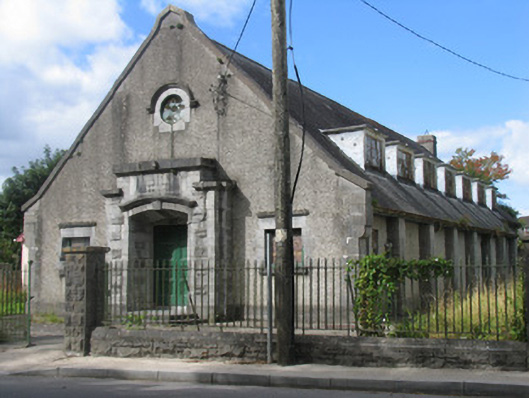 David Clarke Memorial Hallhall · 1.1 mi
 miller's housemiller's house · 1.1 mi
 Tombrickan CastleCastle · 1.4 mi
 Ballyfinboy Castle (in Ruins)Castle, tower house · 1.5 mi
 Slevoir BayBay · 4.6 mi
 Grassy IslandIslet · 5.0 mi
 Brieny IslandIslet · 5.0 mi
 Knockanacree WoodForest · 5.6 mi
 MacDonagh HouseMemorial · 6.2 mi
Other information
Photo: Credit not shown in the picture search · Rights wording not checked; contact us if this picture should be removed