What is recorded here
Burnt spread in Tobertynan preserved two wooden buildings and key-hole corn kilns at the south end of a low ridge. A carbon date places the disaster between 2200 and 1890 cal. BC, when heat shattered stone and charcoal coated the ground. The buildings may have fallen during an ordinary kiln fire, yet their remains marked a busy place where people dried corn and lived beside the flame.
Situated at the S end of a low NW-S ridge. Topsoil stripping (02E0194) in advance of a gas pipeline identified what appeared to be an industrial complex (BGE: 1A/35/2) that was completely excavated (02E0857) apart from the S end of the burnt spreads. It consisted of isolated burnt material at S, and two wooden structures that burnt down. Each of these was connected with corn-drying kilns to the W. Both kilns were of the key-hole type and no artefacts were recovered.
The burnt spread consisted of six spreads (total dims c. 4m x c. 2m) of a grey ashy deposit overlaid by charcoal-rich soil with some heat-shattered stone. The spreads overlay one small and two larger pits, and pre-dated other phases. A C14 date of 2200-1890 cal. BC relates to this phase. (Tobin and Sunderland 2003, 5-7; Tobin 2004; Tobin 2007)
Compiled by: Michael Moore
Date of upload: 8 March, 2018
The monument record does not grant public access. Check the route and ask the landowner before entering private land.
- What survives
- Recorded monument
Places near here
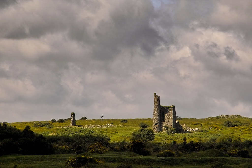 RuinChurch · 1.2 mi
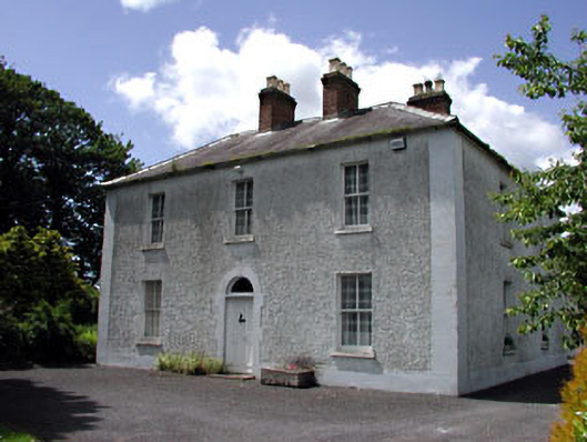 Cherryvalley Housefarm house · 1.5 mi
 Enclosure in Castletown (moyfenrath Lower By.)Enclosure · 1.5 mi
 CastleCastle, unclassified · 1.6 mi
 Wych ElmWych Elm · 1.9 mi
 Enclosure in Batterstown (moyfenrath Lower By.)Enclosure · 2.1 mi
 Common LimeCommon Lime · 3.3 mi
 Donore CastleCastle · 3.8 mi
 Cloncurry GraveyardHeritage attraction · 5.5 mi
 Old Bog Road made famous by Teresa Bryton 1868-1943Memorial · 5.8 mi
 Kilgar GardensHeritage attraction · 7.1 mi
 Croppies' GraveMemorial · 7.1 mi