What is recorded here
Tobar Rónáin, a holy well at the foot of a limestone scarp near ancient church ruins in County Galway, disappeared when people stopped it up. It vanished so completely that no stone, ditch or marker remains for anyone to find. The water likely kept flowing underground long after the surface hole closed, carrying the prayers and stories of the area into the rock below.
At foot of limestone scarp c. 45m W of ecclesiastical remains (GA111-013001-). This well, correctly Tobar Rónáin, is indicated on 1st ed. of OS 6-inch maps but is described in OS Letters as having been 'lately stopped up' (O'Flanagan 1927a, Vol. 3, 384). No visible surface trace survives. (Westropp 1895, 266)
The above description is derived from the published 'Archaeological Inventory of County Galway Vol. I - West Galway'. Compiled by Paul Gosling (Dublin: Stationery Office, 1993).
Date of upload: 05 August 2010
Tobar Rónáin, also known as Toberronan, is associated with Cill Éinne (the Church of Saint Ene), a lesser-known early Christian saint. The well's suppression in the 19th century reflects broader patterns of decline in traditional holy well practices during that period.
The monument record does not grant public access. Check the route and ask the landowner before entering private land.
- What survives
- Recorded monument
Places near here
 Leaba Naomh RónáinHeritage attraction · 45 yd
 Site of ChurchChurch · 94 yd
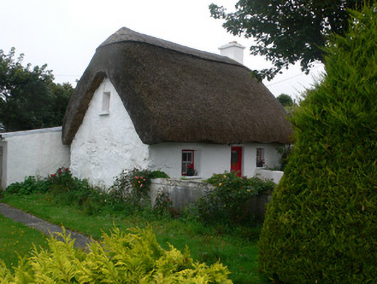 An Púcánhouse · 153 yd
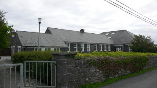 Gairm-Sgoil Éinneschool · 171 yd
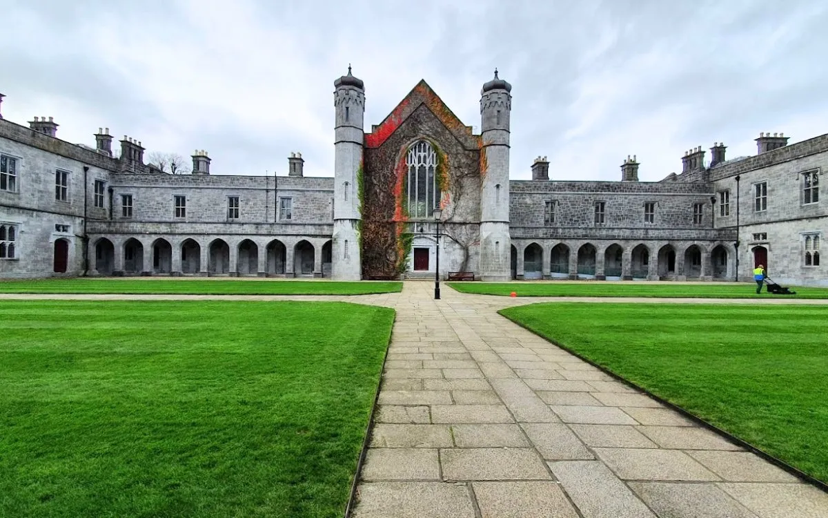 Monumental structure in Cill ÉinneMonumental structure · 619 yd
 Trá na mBuailte (Beach of the Booly)Beach / strand · 804 yd
 Viking Burial MoundHeritage attraction · 1222 yd
 Arkin's CastleCastle · 1.4 mi
 Oileán na TuíIslet · 1.8 mi
 Seal Colony LookoutViewpoint · 2.0 mi
 An CharcairMountain / peak · 2.3 mi
 ÁrainnIsland · 2.5 mi