
What is recorded here
At N end of Cill Rónáin, Inis Mór. The site of a possible medieval church, aligned E-W on 1st ed. of OS 6-inch map. Apparently removed by time of 2nd ed. (1899). Now occupied by a vegetable garden.
The above description is derived from the published 'Archaeological Inventory of County Galway Vol. I - West Galway'. Compiled by Paul Gosling (Dublin: Stationery Office, 1993).
Date of upload: 05 August 2010
The monument record does not grant public access. Check the route and ask the landowner before entering private land.
- What survives
- Recorded monument
Places near here
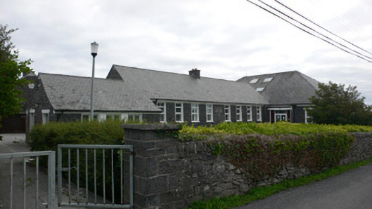 Gairm-Sgoil Éinneschool · 80 yd
 Leaba Naomh RónáinHeritage attraction · 121 yd
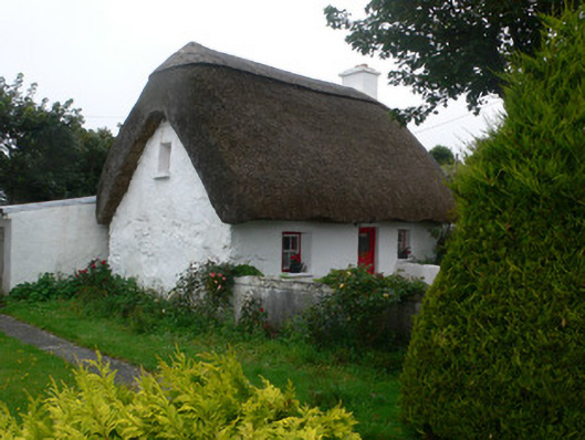 An Púcánhouse · 189 yd
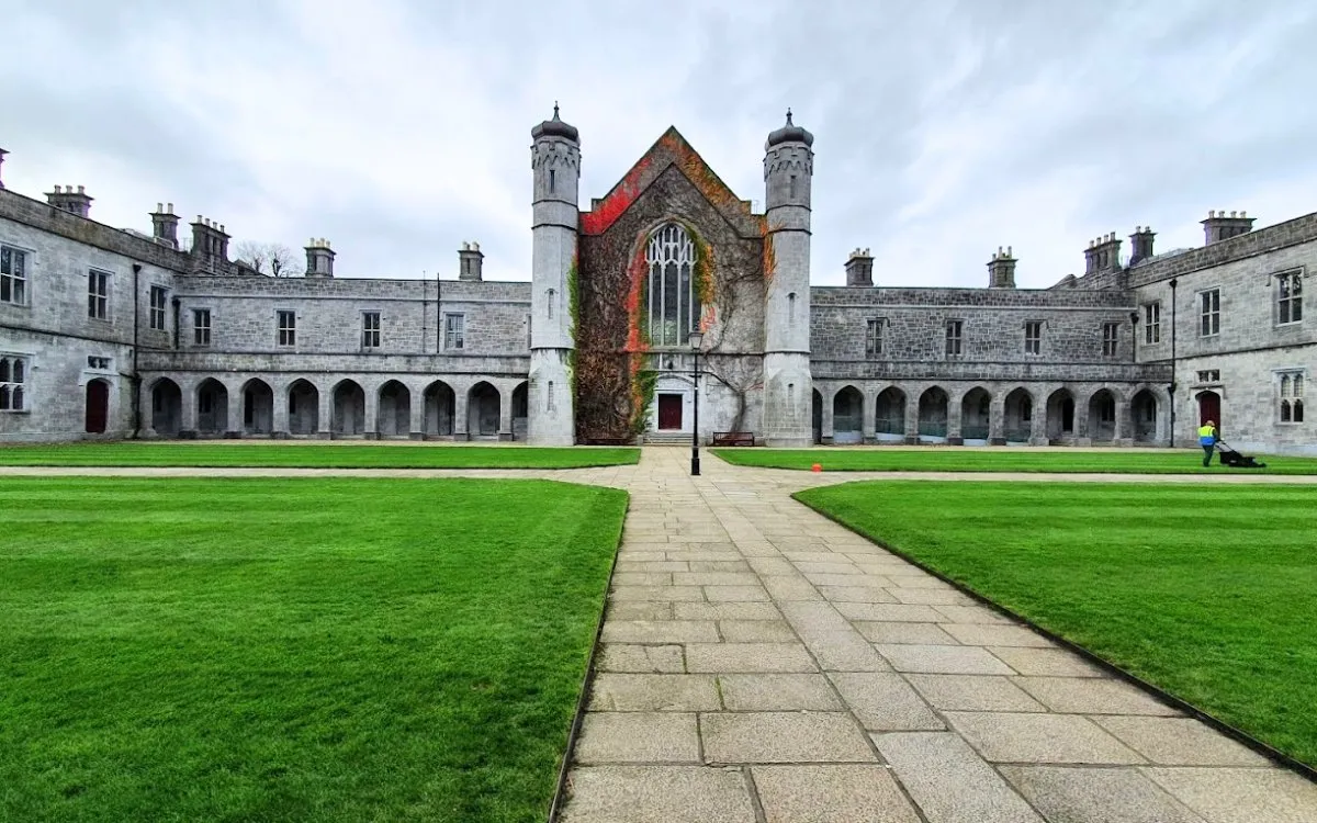 Monumental structure in Cill ÉinneMonumental structure · 712 yd
 Trá na mBuailte (Beach of the Booly)Beach / strand · 715 yd
 Viking Burial MoundHeritage attraction · 1135 yd
 St Kierans WellHoly well · 1386 yd
 Arkin's CastleCastle · 1.4 mi
 Oileán na TuíIslet · 1.8 mi
 Seal Colony LookoutViewpoint · 2.0 mi
 An CharcairMountain / peak · 2.3 mi
 ÁrainnIsland · 2.5 mi
Other information
Photo: Credit not shown in the picture search · Rights wording not checked; contact us if this picture should be removed