What is recorded here
In Toberfelim, County Longford, a tapering stone rises one metre twenty-three centimetres from rolling pasture, aligned northwest to southeast. Cattle treat the ancient marker as a scratching post, rubbing their coats against its smooth surface while the stone remains steady beneath their weight. What the stone marked before the pasture is no longer certain, but it still divides the field and gives the herd a place to ease their skin.
In rolling pasture. This upright stone (H 1.23m; Wth 0.8m; T 0.57m) tapers to a point and is aligned NW-SE. It is used as a scratching post by cattle.
Compiled by: Patrick F. O'Donovan
Date of upload: 1 March 2012
The monument record does not grant public access. Check the route and ask the landowner before entering private land.
- What survives
- Recorded monument
Places near here
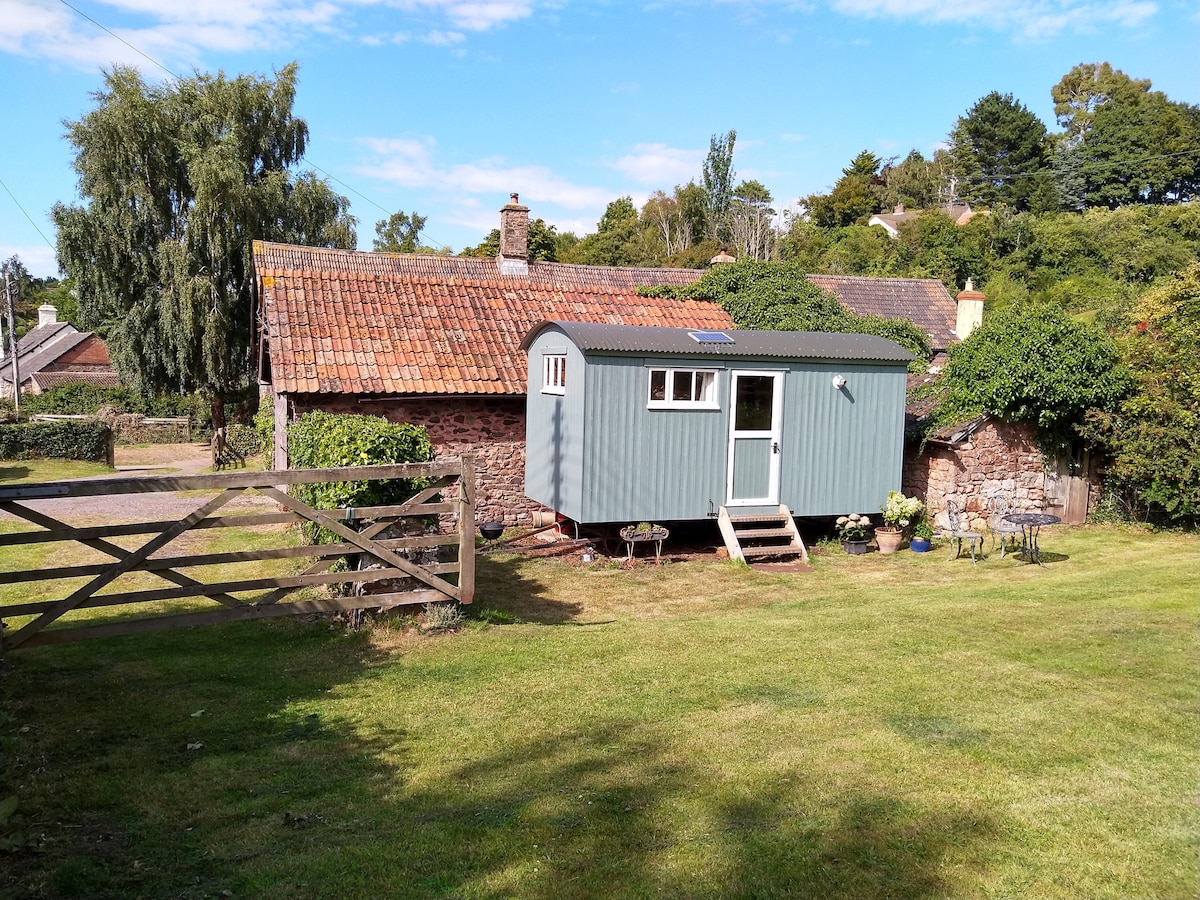 Hut site in ToberfelimHut site · 147 yd
 Dunclá or Black Pigs RaceArchaeological place · 225 yd
 Church in KilbrideChurch · 1441 yd
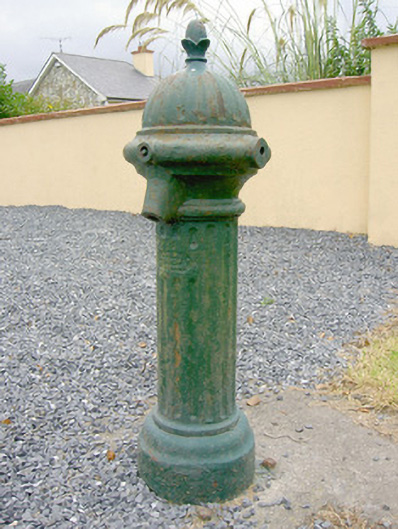 water pumpwater pump · 1541 yd
 Bakers FortCastle, ringwork · 1.6 mi
 1798 Monumentmonument · 1.8 mi
 Granard MotteMotte-and-bailey castle remains · 1.9 mi
 CastleCastle, unclassified · 1.9 mi
 CartronfreeMountain / peak · 2.4 mi
 CarrickabaneMountain / peak · 2.6 mi
 Moynagh Upper ForestForest · 3.3 mi
 Carrick RockWood · 3.3 mi