What is recorded here
In pasture, at the extreme SE edge of the Lingaun River. Monument identified by Will Forbes (no date). The remains of a levelled semi-circular mound (dims. 10m N-S; 10m E-W; H 0.2m) are visible NE-E-S-W. The mound has been truncated by the river to the NW. A narrow inlet (Wth 0.8m; D 0.25m) from the river where the water has eroded into the mound may be the original trough area (L 2.2m; Wth 1.0m; D 0.9m). Heat shattered stones and black soil are visible in the section (D 0.4m) at the rear of the trough area and in an eroded area to the WSW. A small upright stone (T 0.1m; H 0.15m; L 0.35m) protrudes from the mound above the trough area to the WSW. A fulacht fia (TS072-016001-) is located 100m to the NE and another (TS072-016003-) is located 150m to the SW.
Compiled by: Jean Farrelly
Date of revised upload: 30 September 2014
The monument record does not grant public access. Check the route and ask the landowner before entering private land.
- What survives
- Recorded monument
Places near here
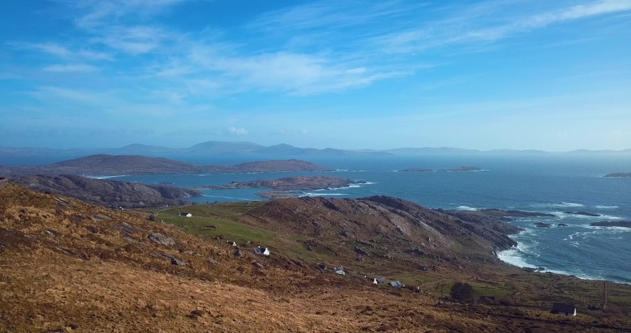 Fulacht fia in CoolarkinFulacht fia · 127 yd
 Enclosure in AttyjamesEnclosure · 1035 yd
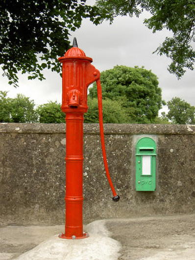 water pumpwater pump · 1051 yd
 Castle JohnCastle, tower house · 1161 yd
 CastleCastle, motte · 1.2 mi
 Knockroe Passage TombVisitor information · 1.3 mi
 Church (in Ruins)Church · 1.3 mi
 Carrigadoon HillMountain / peak · 1.8 mi
 Curraghdobbin HillMountain / peak · 2.2 mi
 Irish Republic 1916-2016Memorial · 2.9 mi
 Killamery High CrossVisitor information · 2.9 mi
 Brawder's Family BlacksmithHeritage attraction · 3.0 mi