
What is recorded here
In pasture, on a generally level area with land falling gently to the N and NE to the Lingaun River. A sub-circular area (dims. 34m N-S; 37m E-W) defined by an earthen bank (int. H 0.25m; ext. H 2.25m; Wth 3.7m) and deep cut fosse (basal Wth 2.5m; overall Wth 8.6m; D 1.15m) from NW-ENE; only the bank (int. H 0.6m; ext. H 0.8m; Wth 4m) is visible from ESE-SSW and from SW-NW the bank (int. H 0.7m; ext. H 1.2m; Wth 3m) is incorporated into a field boundary. In the ENE-ESE sector the bank is reduced to a scarp. The remains of an in-filled fosse are visible from ENE-SW. There are possible traces of an outer bank (int. H 1.7m; ext. H 0.45m; Wth 4.1m) at the NNW-N where it peters out. There is a gap in the bank at the SE (Wth 1m), SW (Wth 2.1m) and NW (Wth 1.5m). The interior is generally level. A circular feature (diam. c. 10m) identified on an aerial photograph (Air Corps V.312/3076/5) within the centre of the interior is not visible at ground level.
Compiled by: Jean Farrelly
Date of upload: 26 August 2011
A local fairy fort (ringfort/rath); wider significance not recorded.
The monument record does not grant public access. Check the route and ask the landowner before entering private land.
- What survives
- Recorded monument
Places near here
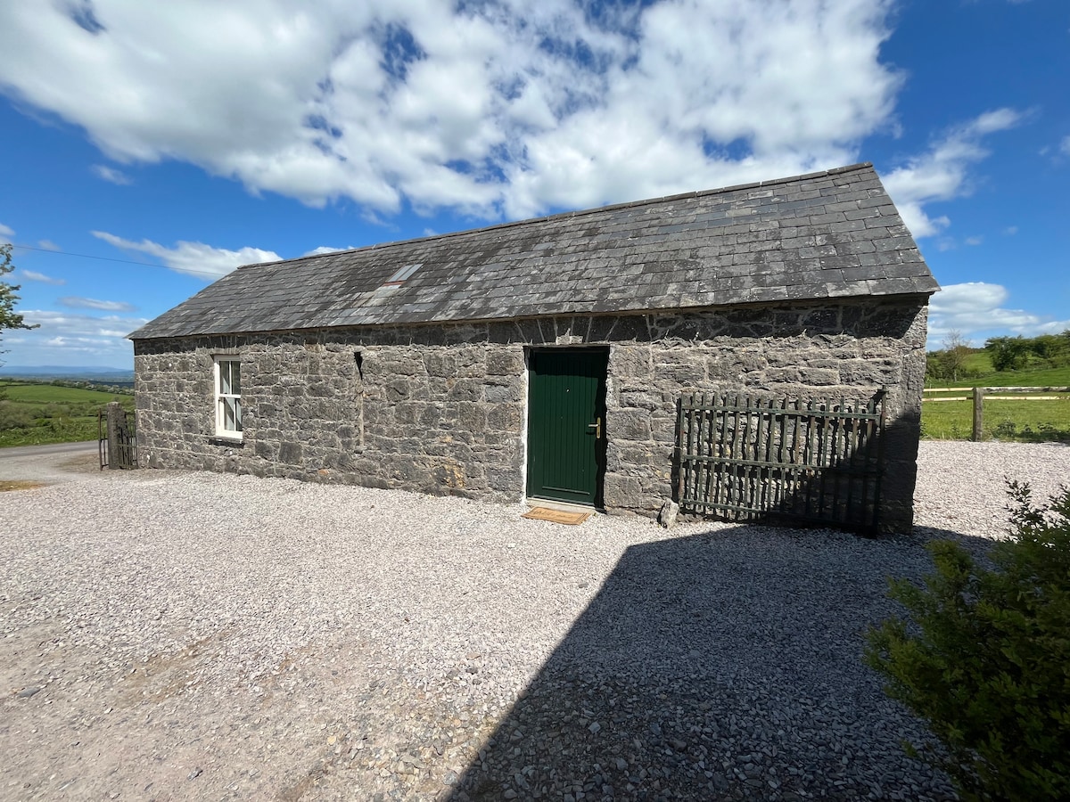 Enclosure in BallinvirEnclosure · 1161 yd
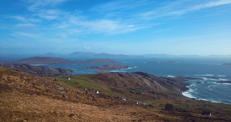 Fulacht fia in CoolarkinFulacht fia · 1161 yd
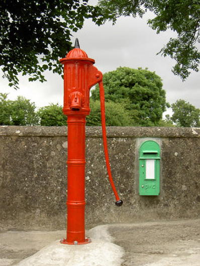 water pumpwater pump · 1.2 mi
 Castle JohnCastle, tower house · 1.2 mi
 Saint Mary's Catholic Churchchurch/chapel · 1.6 mi
 Curraghdobbin HillMountain / peak · 1.6 mi
 CastleCastle, motte · 1.7 mi
 Knockroe Passage TombVisitor information · 1.8 mi
 Carrigadoon HillMountain / peak · 1.9 mi
 Wild CherryWild Cherry · 2.5 mi
 The SpoutMemorial · 3.0 mi
 Killamery High CrossVisitor information · 3.2 mi
Other information
Photo: Credit not shown in the picture search · Rights wording not checked; contact us if this picture should be removed