What is recorded here
Fairy fort / earthen ringfort in Thomastown is a fairy fort or earthen ringfort in Thomastown, County Westmeath, Ireland. It sits in relatively low lying wet pasture, enclosed to the north, east, and south by a stream and to the west by a land drain. The 1837 edition of the Ordnance Survey six-inch map depicts it as a roughly circular earthwork, while the revised 1913 edition of the Ordnance Survey twenty-five-inch map shows it as a subcircular earthwork defined by a scarp. A raised earthen causeway extends from higher ground approximately sixty-five metres to the east, curving to intersect with a nearby ringwork and possibly indicating that the two monuments were physically connected on this wet floodplain.
Situated in relatively low lying wet pasture, enclosed to N, E and S by a stream and to W by a land drain. Depicted on the 1837 ed. OS 6-inch map as a roughly circular-shaped earthwork and on the revised 1913 ed. OS 25-inch map as a subcircular-shaped earthwork defined by a scarp. Monument is clearly visible on Digital Globe aerial photography as an oval-shaped earthwork. Leading from higher ground, c. 65m to E there is a raised earthen causeway which extends initially in a linear form and then curves around to intersect with ringwork/motte (WM027-026----) at NW. This can be followed on Digital Globe aerial photography and may indicate that the two monuments were physically connected on this wet floodplain.
Compiled by Alison McQueen, Vera Rahilly and Caimin O’Brien.
Date of upload: 06 November 2019
The monument record does not grant public access. Check the route and ask the landowner before entering private land.
- What survives
- Recorded monument
Places near here
 CastleCastle, ringwork · 325 yd
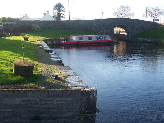 harbour/dock/portharbour/dock/port · 486 yd
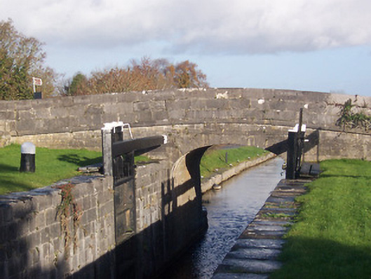 bridgebridge · 508 yd
 Enclosure in AnnaskinnanEnclosure · 1246 yd
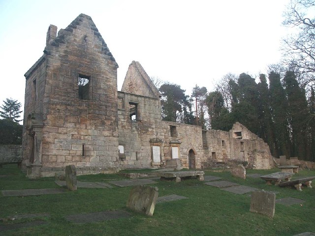 St. Bridgets WellHoly well · 1302 yd
 Rathwire Moat & CastleCastle, motte and bailey · 1.2 mi
 ScregganWood · 4.9 mi
 GinkgoGinkgo · 5.2 mi
 Croppies' GraveMemorial · 6.6 mi
 18th Locklock · 529 yd
 canal (section of)canal (section of) · 652 yd
 19th Locklock · 1049 yd