
What is recorded here
Indicated is a fairy fort or earthen ringfort in Termon, County Roscommon, Ireland. It sits on flat ground overlooking the south bank of the Boyle River, about 180m away at its closest point, within Boyle town. The subcircular platform measures 29m north-south and 27m east-west, spanning three back-gardens and defined by a scarp rising from 1m at the north to 1.9m at the west. Much of the central part was removed in 1974, leaving only the east-west perimeter and a northern arc visible.
On flat ground overlooking the S bank of the W-E Boyle River, which is c. 180m distant at its closest point, and within Boyle town. Subcircular platform (dims 29m N-S; 27m E-W), which spans three back-gardens, defined by a scarp (H 1m at N to 1.9m at W), but much of the central part was removed in 1974 (SMR file) and only the perimeter E-W, and an arc of the perimter at N remains.
Compiled by: Michael Moore
Date of upload: 24 August 2010
The monument record does not grant public access. Check the route and ask the landowner before entering private land.
- What survives
- Recorded monument
Places near here
 Ritual siteRitual site, holy/saint's stone · 188 yd
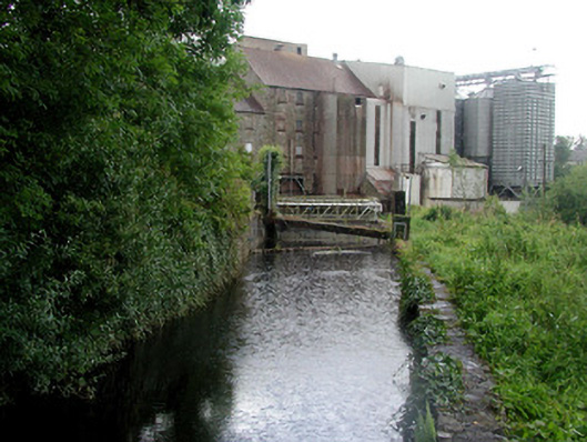 mill racemill race · 308 yd
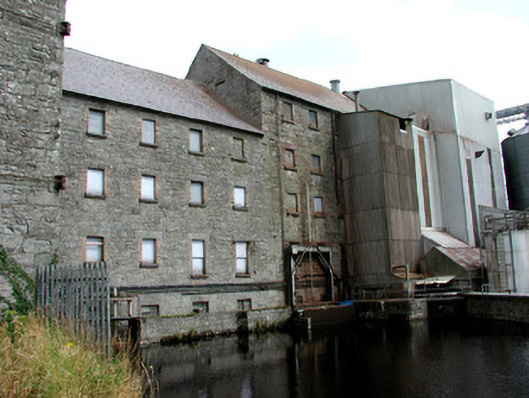 Boyle Millsmill (water) · 318 yd
 King William MemorialMonument · 823 yd
 Brothers SculptureMonument · 1047 yd
 Boyle AbbeyHeritage attraction · 1098 yd
 Battle of Curlew PassMajor battlefield · 2.0 mi
 Battle of the Curlew Mountains (1599)Battlefield · 2.0 mi
 Bingham IslandIslet · 2.3 mi
 Erris BayBay · 2.3 mi
 Trinity IslandIslet · 2.6 mi
 Lough Key Forest ParkWood · 2.8 mi
Other information
Photo: Credit not shown in the picture search · Rights wording not checked; contact us if this picture should be removed