What is recorded here
The burial ground in Templenahurney is in County Tipperary, Ireland. It occupies a gentle east-facing pasture slope and forms a rectangular enclosure measuring 8.5 metres north to south and 16.5 metres east to west. An earth and stone bank defines the boundary, reaching 3.35 metres in width, 0.35 metres in internal height and 0.65 metres in external height. The interior remains slightly uneven while the bank shows minor disturbance at the east end of the north side.
In pasture, on gentle E-facing slope. Rectangular enclosure (dims. 8.5m N-S; 16.5m E-W) defined by bank (Wth 3.35m; int. H 0.35m; ext. H 0.65m) of earth and stone. Bank slightly disturbed at E-end of N-side. Interior slightly uneven and tending slightly to E with prevalent down slope.
Compiled by: Jean Farrelly
Date of upload: 26 August 2011
The monument record does not grant public access. Check the route and ask the landowner before entering private land.
- What survives
- Recorded monument
Places near here
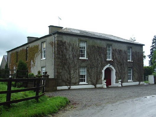 Bansha Housecountry house · 804 yd
 Enclosure in TemplenahurneyEnclosure · 1012 yd
 IndicatedHilltop enclosure · 1013 yd
 Church (in ruins)Church · 1335 yd
 Castle (in ruins)Castle, unclassified · 1556 yd
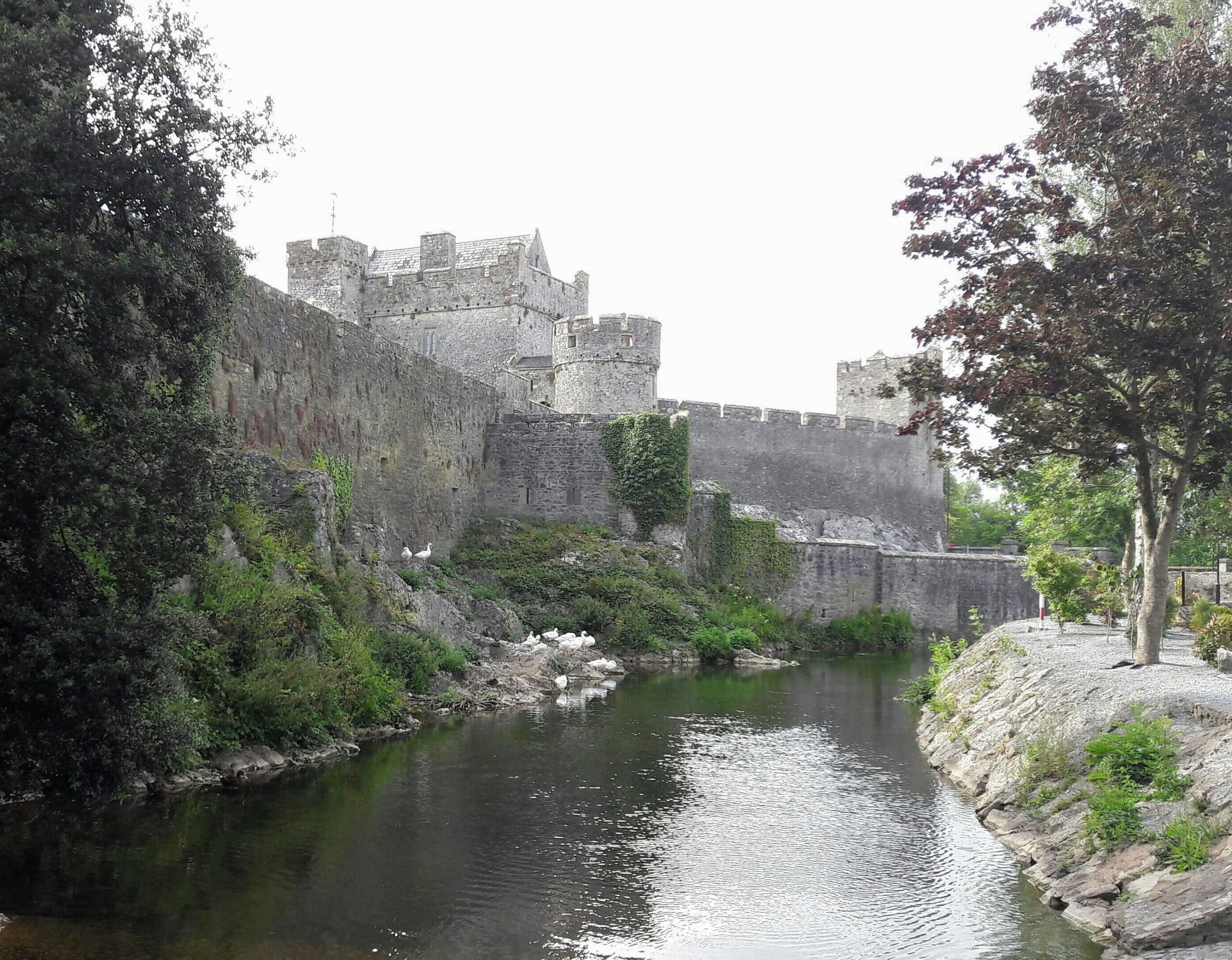 Ballymacady CastleCastle · 1706 yd
 European ashEuropean ash · 2.4 mi
 Bansha ForestForest · 2.8 mi
 I.R.A. 3rd. Tipperary Brigade MemorialMemorial · 3.9 mi
 It's a long way to TippereryHeritage attraction · 4.5 mi
 The RockViewpoint · 4.6 mi
 The Maid of ErinMemorial · 4.6 mi