
What is recorded here
On flat ground at break of fairly steep SE-facing slope, ground falls beyond break of slope to NE-E-S. The church was located roughly N of centre within a graveyard (TS067-044001-). The church is not visible at ground level. It is located in an area of very rough grazing which has been largely fenced off and was used in the past for dumping manure, mounds of soil (H c. 0.7m; average Wth c. 3.5m) with stones and some building rubble, including a concrete pier. According to local information a section of ivy-covered wall (H c. 2.5m) had been standing up to c. 25-30 years ago. The C of I church at Bansha, which replaced a medieval church (TS067-064----), is visible 1km to the SSE.
Compiled by: Jean Farrelly
Date of upload: 26 August 2011
The monument record does not grant public access. Check the route and ask the landowner before entering private land.
- What survives
- Recorded monument
Places near here
 IndicatedHilltop enclosure · 497 yd
 Enclosure in CloonfinglassEnclosure · 519 yd
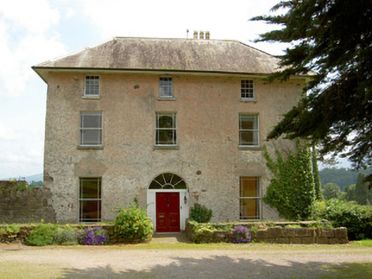 Cluen Househouse · 795 yd
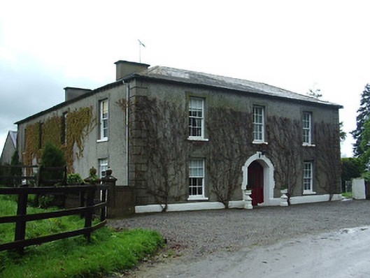 Bansha Housecountry house · 951 yd
 Castle (in ruins)Castle, unclassified · 1035 yd
 Bansha CastleCastle · 1121 yd
 Bansha ForestForest · 2.0 mi
 European ashEuropean ash · 2.1 mi
 I.R.A. 3rd. Tipperary Brigade MemorialMemorial · 3.3 mi
 The RockViewpoint · 3.8 mi
 It's a long way to TippereryHeritage attraction · 3.8 mi
 The Maid of ErinMemorial · 3.9 mi
Other information
Photo: Credit not shown in the picture search · Rights wording not checked; contact us if this picture should be removed