What is recorded here
Depicted as a house on the Down Survey map (1655-8). Listed as ‘House - 17th century’ in the SMR (1992) but not listed in the RMP (1996) because unlocated. Not located during field inspection in 1998.
Compiled by: Gearóid Conroy and Conn Herriott
Date of upload: 6-10-2025
The monument record does not grant public access. Check the route and ask the landowner before entering private land.
- What survives
- Recorded monument
Places near here
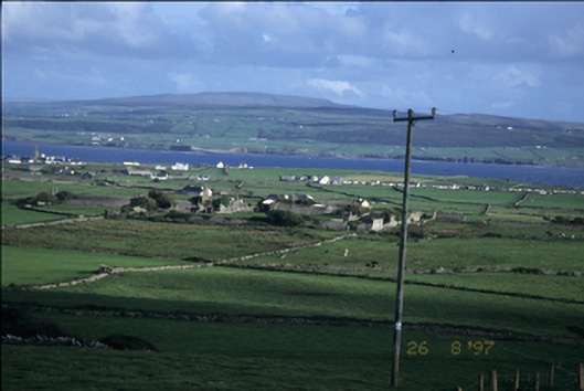 Birchfield Housegates/railings/walls · 312 yd
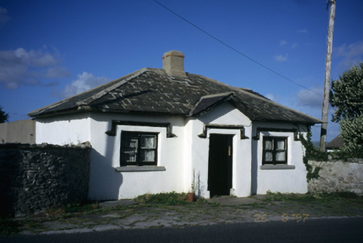 Seamount Housegate lodge · 733 yd
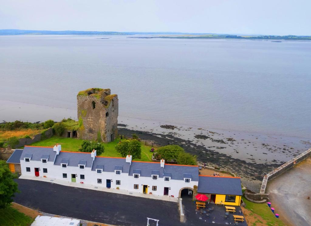 IndicatedFairy fort / stone ringfort · 1171 yd
 John P. Holland CentreMuseum · 1220 yd
 Liscannor Castle (in Ruins)Castle, tower house · 1384 yd
 Enclosure in CaherycahillEnclosure · 1420 yd
 Bridget's Well;St Bridget's WellSpring · 1604 yd
 CastleCastle, unclassified · 1.3 mi
 Cliffs of MoherCliff · 2.1 mi
 Liscannor BayBay · 2.2 mi
 Cliffs of Moher Visitor CentreVisitor information · 2.2 mi
 Lahinch BeachBeach / strand · 2.3 mi