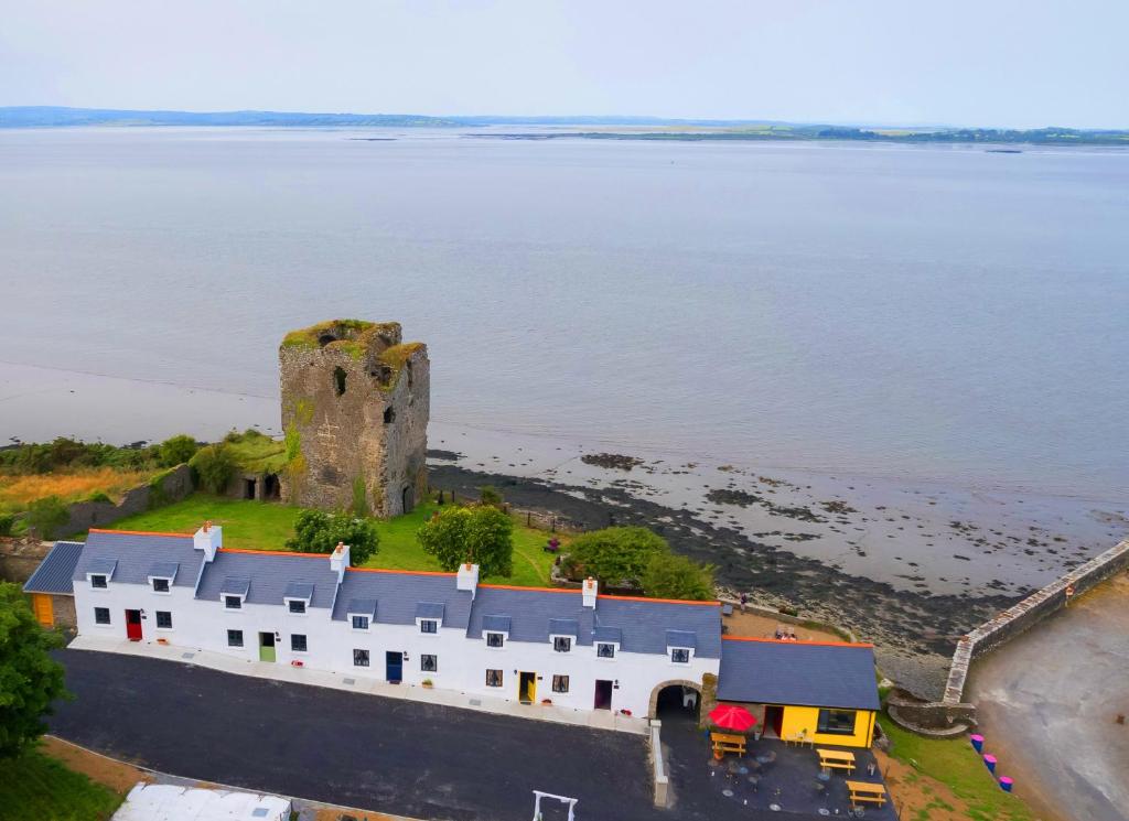
What is recorded here
Indicated is a circular cashel on a low ridge beside the Ballysteen River in County Clare. Its wide stone wall still stands though collapsed in places, marking a boundary old enough to appear on the first surveyed maps. The gap at west-southwest invites entry into a dished interior where livestock may once have crowded or someone may have stood watching the river bend.
On a low N-S ridge in gently undulating pasture c. 25m to the W of the S-flowing Ballysteen River. Hachured on both the first (1842) and Cassini (1920) edition of the OS 6-inch map. Listed as ‘Enclosure’ in the RMP (1996). This well-preserved circular cashel (25.85m N-S; 25.2m E-W) is defined by a stone wall (Wth 2-3m; int. H 0-0.2m; ext. H 0.5-1.3m) with up to four courses of outer stones facing a rubble core. The wall has collapsed outwards in places, especially along the W, and is overgrown at E. There is a gap (Wth 0.9m at base, 1.9m at top) at WSW, and two smaller gaps at NE and E which may be livestock gaps. The interior is slightly dished towards the centre.
Compiled by: Gearóid Conroy and Conn Herriott
Date of upload: 6-10-2025
The monument record does not grant public access. Check the route and ask the landowner before entering private land.
- What survives
- Recorded monument
Places near here
 Saint Bridget's Wellholy well · 827 yd
 St Bridgets WellHoly well · 832 yd
 Bridget's Well;St Bridget's WellSpring · 834 yd
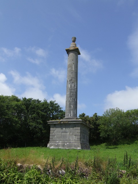 O’Briens MonumentMonument · 854 yd
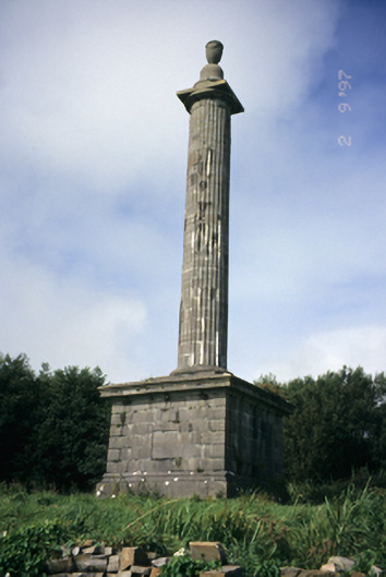 O'Brien's Monumentmonument · 858 yd
 John P. Holland CentreMuseum · 1.1 mi
 Liscannor Castle (in Ruins)Castle, tower house · 1.3 mi
 CastleCastle, unclassified · 1.6 mi
 Cliffs of Moher Visitor CentreVisitor information · 1.6 mi
 Cliffs of MoherCliff · 1.7 mi
 Sea StackMountain / peak · 1.9 mi
 Sightseeing Cliffs of Moher SouthViewpoint · 2.4 mi
Other information
Photo: Credit not shown in the picture search · Rights wording not checked; contact us if this picture should be removed