
What is recorded here
Indicated is a fairy fort in County Meath, Ireland. It occupies a slightly raised oval on a NW-SE ridge, with a grass-covered interior about 28m long and 21m wide. A shallow fosse and low scarp mark its edge, while the Knightsbrook River flows nearby to the NE. The shape has survived on maps since at least 1836, suggesting that people continued to see the ring as a place set apart from the surrounding field.
Situated on a NW-SE rise in a fairly level landscape with a canalised SE-NW section of the Knightsbrook River c. 240m to the NE. It is represented as an oval copse on the 1836 edition of the OS 6-inch map and as a hachured oval feature on the 1912 edition. This is a slightly raised oval and grass-covered area (dims c. 28m NW-SE; c. 21m NE-SW) defined by a fosse (Wth of top 9m; int. D c. 0.7m; ext. D 1m) across the ridge at NW, and a scarp (Wth c. 6m; H c. 1m) elsewhere. An original entrance is not identified.
The above description is derived from the published 'Archaeological Inventory of County Meath' (Dublin: Stationery Office, 1987). In certain instances the entries have been revised and updated in the light of recent research.
Compiled by: Michael Moore
Date of revision: 9 August 2019
The monument record does not grant public access. Check the route and ask the landowner before entering private land.
- What survives
- Recorded monument
Places near here
 Enclosure in Stokestown (moyfenrath Lwr By)Enclosure · 1275 yd
 EnclosureEnclosure, large enclosure · 1.1 mi
 CastleCastle, unclassified · 1.4 mi
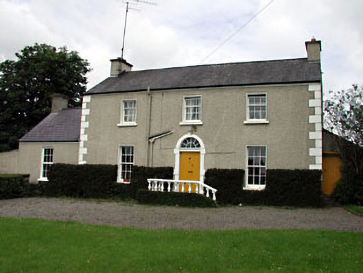 The Villafarm house · 1.6 mi
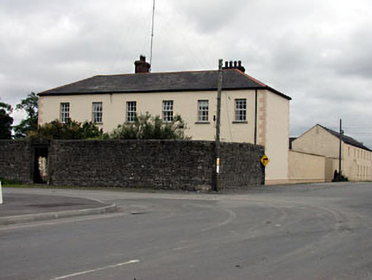 Rathmolyon Househouse · 1.7 mi
 Dangan CastleCastle, tower house · 1.7 mi
 Saints IslandForest · 1.8 mi
 Wych ElmWych Elm · 2.7 mi
 Croppies' GraveMemorial · 9.9 mi
 Mass was there in Penal TimesMemorial · 10 mi
 Saint Oliver Plunkett 1625-1681Memorial · 11 mi
 Library GardenHeritage attraction · 12 mi
Other information
Photo: Credit not shown in the picture search · Rights wording not checked; contact us if this picture should be removed