What is recorded here
Field system in Stonepark South is a field system in Stonepark South, County Roscommon, Ireland. Relict field banks formed fairly large fields covering about six acres inside the rath. Those marks disappeared before the 1970s account reached Stonepark South.
The interior of rath (RO032-023001-) is overlain by the remnants of a field system and relict field banks of fairly large fields (dims c. 100m x c. 50m) covered c. 6 acres (c. 2.5 ha) in the 1970s (CUCAP: BDK 84), but these are no longer extant.
Compiled by: Michael Moore
Date of upload: 24 August 2010
The monument record does not grant public access. Check the route and ask the landowner before entering private land.
- What survives
- Recorded monument
Places near here
 Embanked enclosureFairy fort / earthen ringfort · 93 yd
 Enclosure in Stonepark SouthEnclosure · 149 yd
 IndicatedChurch · 294 yd
 Church (in Ruins)Church · 1364 yd
 CastleCastle, unclassified · 1.5 mi
 Slieve DartMountain / peak · 3.1 mi
 Castle in ruinsCastle, unclassified · 4.6 mi
 Coolougher WoodForest · 5.4 mi
 Rook HillMountain / peak · 5.7 mi
 Site of Killomaine Grave YardArchaeological place · 9.2 mi
 European ashEuropean ash · 15 mi
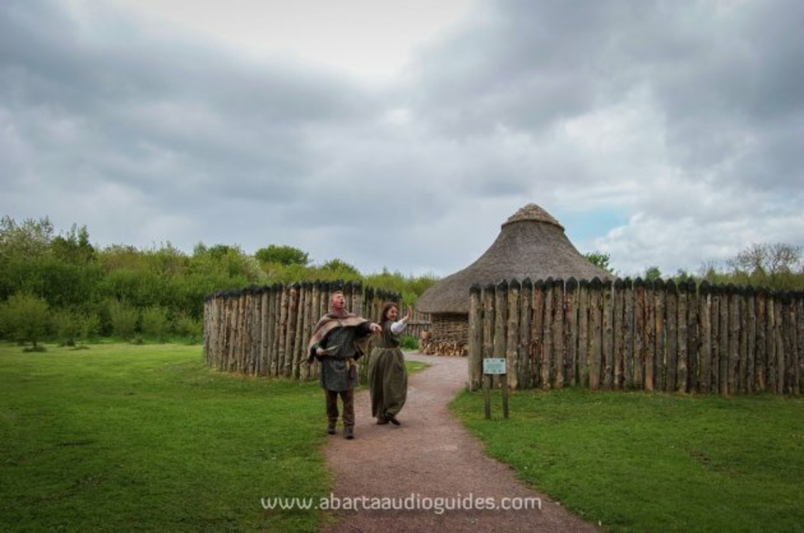 Moanbane FortFairy fort / earthen ringfort · 457 yd