
What is recorded here
On a gentle S-facing slope towards the E edge of a plateau. There was a rectangular enclosure or annexe (dims c. 30m N-S; c. 30m E-W) S of the middle bank of rath (RO032-023001-) defined at the E, S and W sides by an earthen bank and outer fosse (CUCAP: BDK 84-6), but this has been removed.
Compiled by: Michael Moore
Date of upload: 24 August 2010
A local fairy fort (ringfort/rath); wider significance not recorded.
This remains an important historical record, but the official description says the monument is no longer visible or has been destroyed. The monument record does not grant public access. Check the route and ask the landowner before entering private land.
- What survives
- No visible remains or recorded as destroyed
Places near here
 Embanked enclosureFairy fort / earthen ringfort · 56 yd
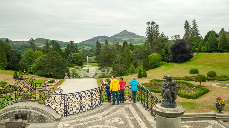 IndicatedFairy fort / earthen ringfort · 543 yd
 Church (in Ruins)Church · 1478 yd
 ChapelChurch · 1701 yd
 CastleCastle, unclassified · 1.4 mi
 Slieve DartMountain / peak · 3.0 mi
 Castle in ruinsCastle, unclassified · 4.5 mi
 Coolougher WoodForest · 5.4 mi
 Rook HillMountain / peak · 5.7 mi
 Site of Killomaine Grave YardArchaeological place · 9.2 mi
 European ashEuropean ash · 15 mi
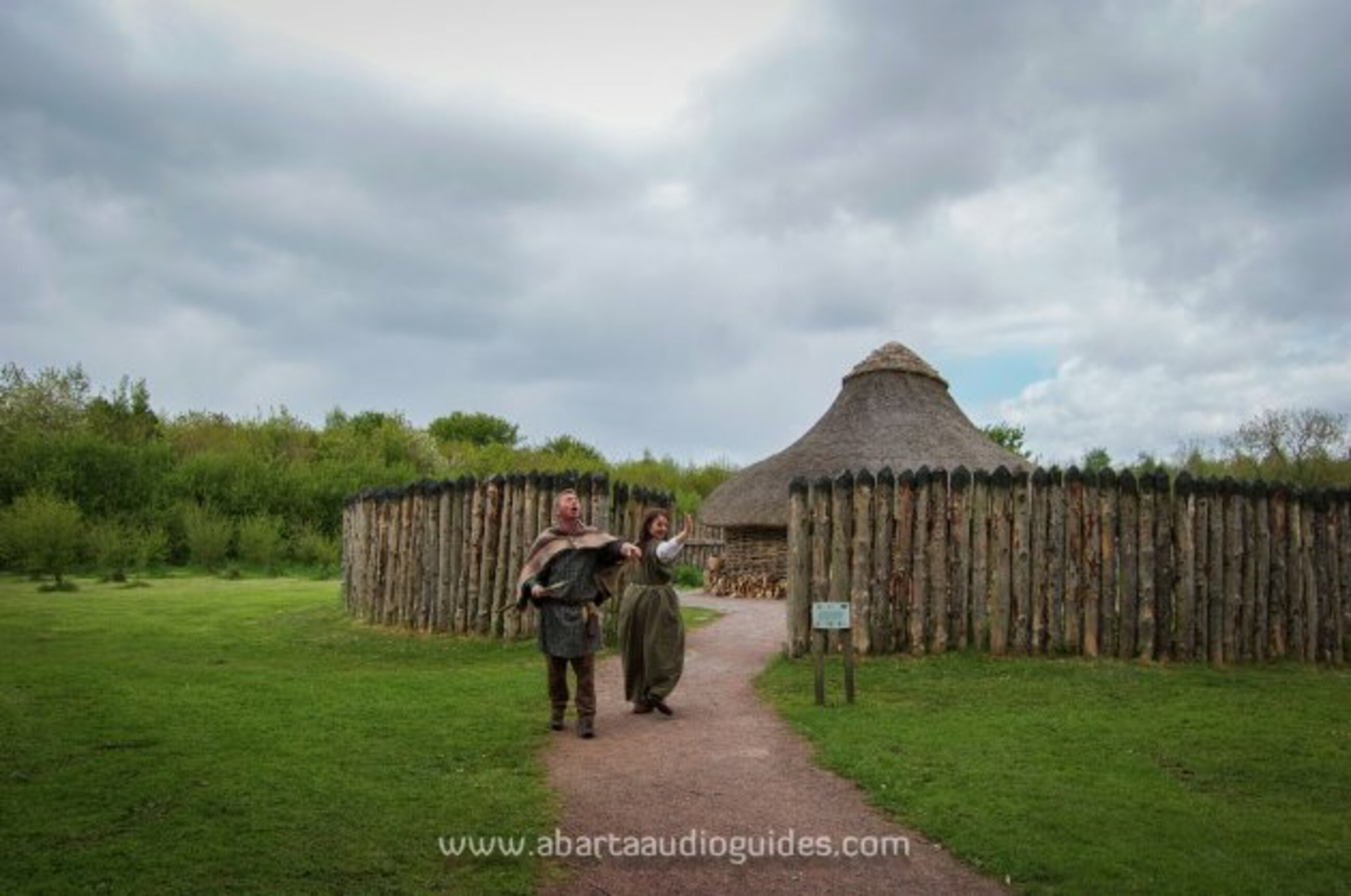 Moanbane FortFairy fort / earthen ringfort · 576 yd
Other information
Photo: Credit not shown in the picture search · Rights wording not checked; contact us if this picture should be removed