
What is recorded here
: Marked on the 1837 ed. of the OS 6-inch map as a rectangular structure (dims c. 15m E-W) where it is described in gothic lettering as a chapel. It is situated at the crest of the N-facing slope of broad plateau and just E of the present Roman Catholic church. Described as the site of an ancient chapel (OS Name Book), it is known locally as the site of a post-Penal Roman Catholic church of c. 1783 when the French family of Lowberry (RO032-054----) provided an acre of ground (McGuire 2019, 135). The church was a ruin by 1833, according to the parish priest, Rev. Thomas Feeney, who was then collecting funds for the present church that was built by 1862. While a cairn (RO032-015003-) was evident in the modern graveyard (RO032-015002-) (dims c. 90m N-S; c. 70m E-W) (Gannon 1972), it was probably cairn material from this chapel and has since been removed. The bullaun stone (RO032-015004-) (dims 0.4m x 0.4m; H 0.22m) with a single basin (dims 0.3m x 0.25m; D 0.1m) from the children’s burial ground at Ballyrane Upper (RO032-016003-) is now in the present church.
Compiled by: Michael Moore
Date of upload: 24 August 2010
A local church or high cross; wider significance not recorded.
The monument record does not grant public access. Check the route and ask the landowner before entering private land.
- What survives
- Recorded monument
Places near here
 IndicatedFairy fort / earthen ringfort · 647 yd
 Embanked enclosureFairy fort / earthen ringfort · 1017 yd
 RoadRoad, road/trackway · 1709 yd
 Church (in Ruins)Church · 1.1 mi
 CastleCastle, unclassified · 1.4 mi
 Slieve DartMountain / peak · 3.4 mi
 Coolougher WoodForest · 5.3 mi
 Castle in ruinsCastle, unclassified · 5.4 mi
 Site of Killomaine Grave YardArchaeological place · 9.9 mi
 European ashEuropean ash · 15 mi
 Mass RockNamed rock · 17 mi
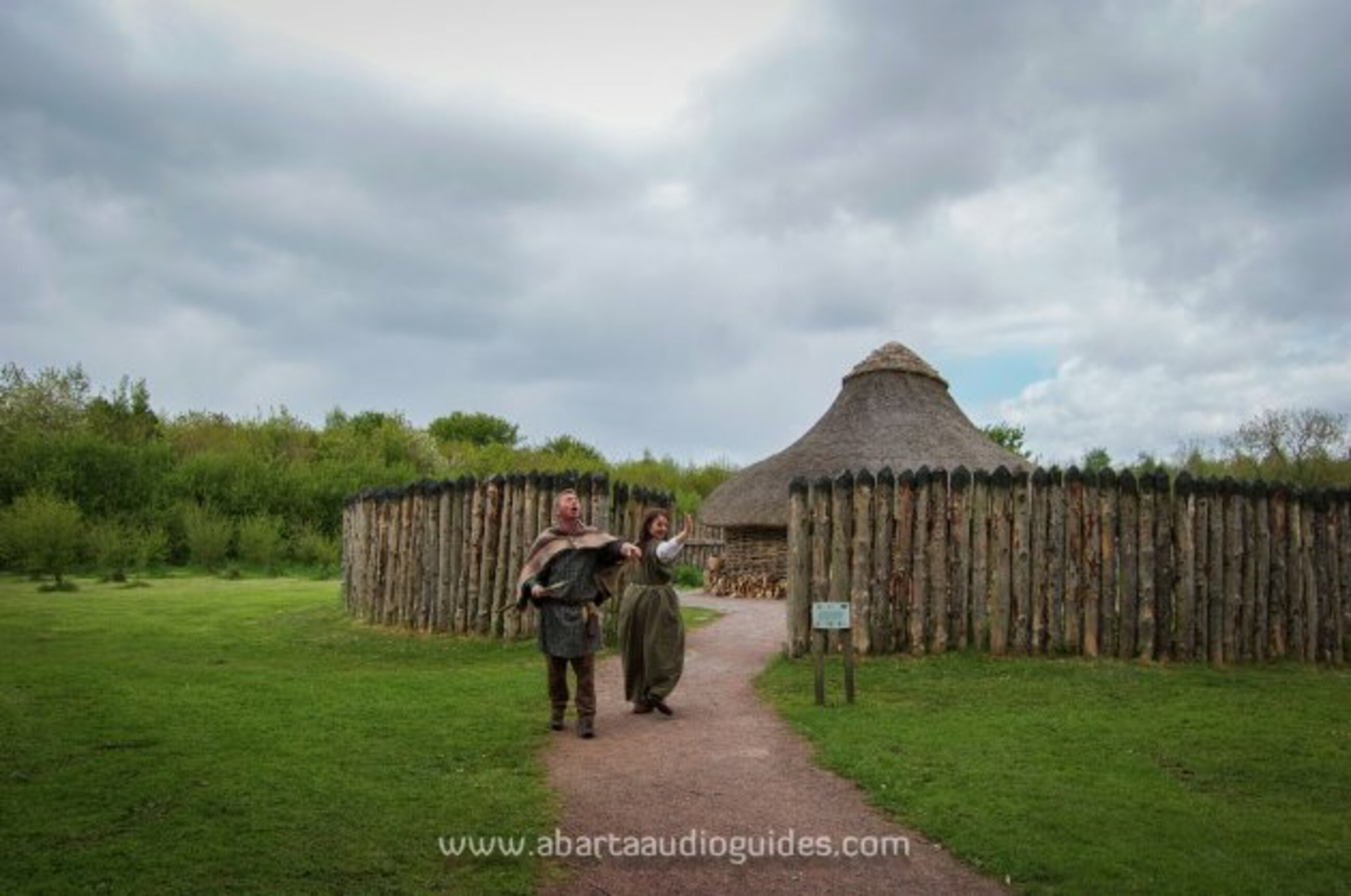 Moanbane FortFairy fort / earthen ringfort · 1128 yd
Other information
Photo: Credit not shown in the picture search · Rights wording not checked; contact us if this picture should be removed