What is recorded here
At the base of a SW-facing slope on the floor of a NW-SE valley. A grass-covered area (dims. c. 18m NE-W; c. 8m NW-SE) on the SE side of a NE-SW field wall has some large stones (dims. c. 0.5m x 0.5m x c. 0.5m) and some smaller stones, which was used for burial into the beginning of the 20th century. A bullaun stone (RO032-016001-) (dims. 0.4m x 0.4m; H 0.22m) with a single basin (dims. 0.3m x 0.25m; D 0.1m) has been moved to the RC church at Garranlahan (RO032-015004-).
(Timoney 1996A, 11)
Compiled by: Michael Moore
Date of upload: 24 August 2010
The monument record does not grant public access. Check the route and ask the landowner before entering private land.
- What survives
- Recorded monument
Places near here
 ChapelChurch · 979 yd
 Church (in Ruins)Church · 1152 yd
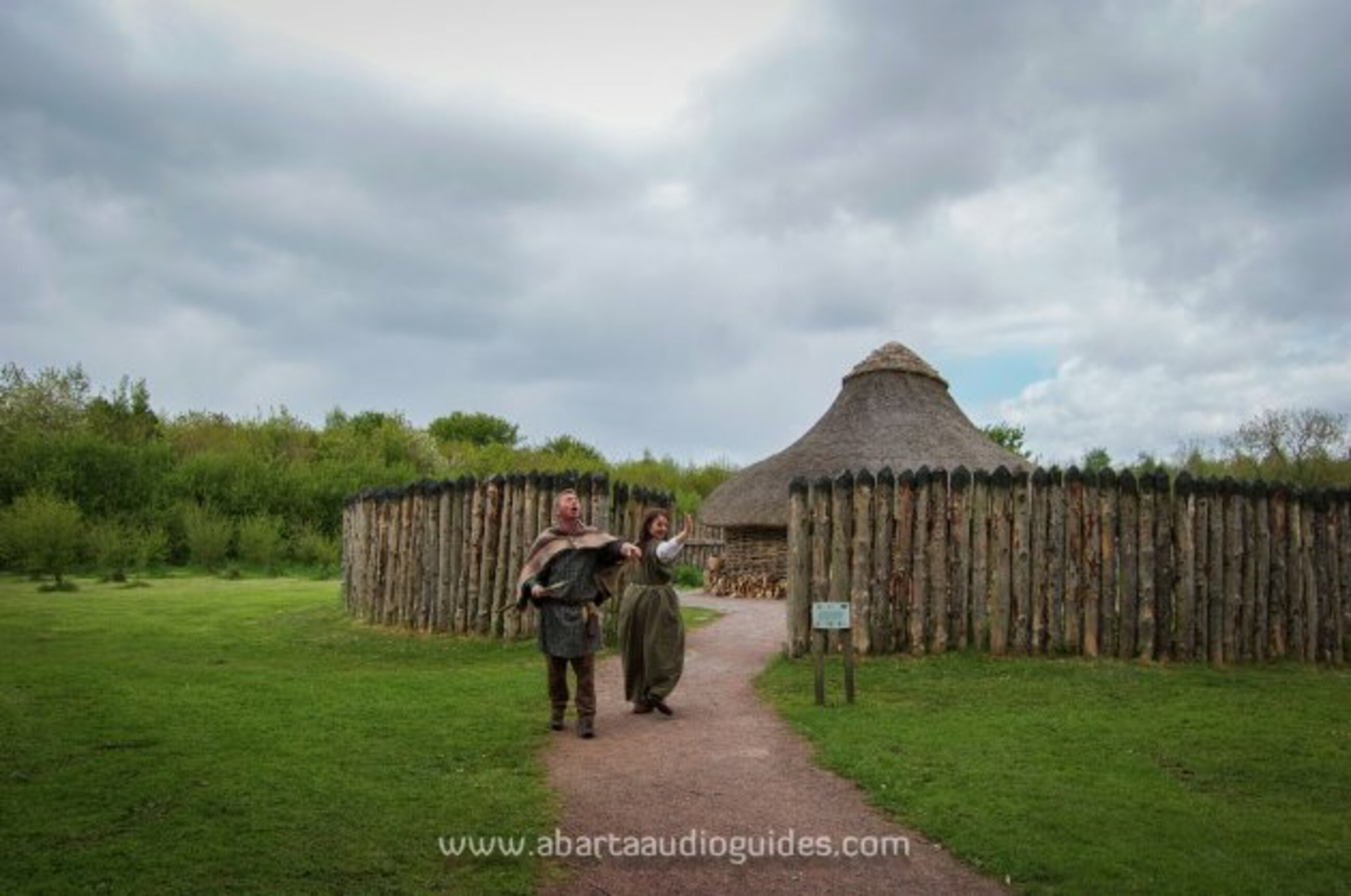 Moanbane FortFairy fort / earthen ringfort · 1226 yd
 IndicatedFairy fort / earthen ringfort · 1580 yd
 CastleCastle, unclassified · 1.9 mi
 Slieve DartMountain / peak · 3.8 mi
 Coolougher WoodForest · 4.8 mi
 Castle in ruinsCastle, unclassified · 5.5 mi
 Rook HillMountain / peak · 6.2 mi
 Site of Killomaine Grave YardArchaeological place · 9.5 mi
 European ashEuropean ash · 16 mi
 Embanked enclosureFairy fort / earthen ringfort · 1663 yd