What is recorded here
Enclosure in Stonehouse is an oval earthwork in County Offaly, measuring about 68 metres east-west and 39 metres north-south, with its south side lost to quarrying. The remaining scarp still marks the boundary between inside and outside, even though the full circle has vanished. People may have gathered there, buried someone, or simply drawn a line in the soil to claim the shape of the world.
Oval shaped enclosure (max dims. E-W c. 68m (N-S c. 39m) defined by a prominent scarp N/W to SE. S side levelled or quarried away, may have been circular in shape originally.
The above description is derived from the published 'Archaeological Inventory of County Offaly' (Dublin: Stationery Office, 1997). In certain instances the entries have been revised and updated in the light of recent research.
Date of upload: 23 May 2011
The monument record does not grant public access. Check the route and ask the landowner before entering private land.
- What survives
- Recorded monument
Places near here
 Enclosure in KillowenEnclosure · 984 yd
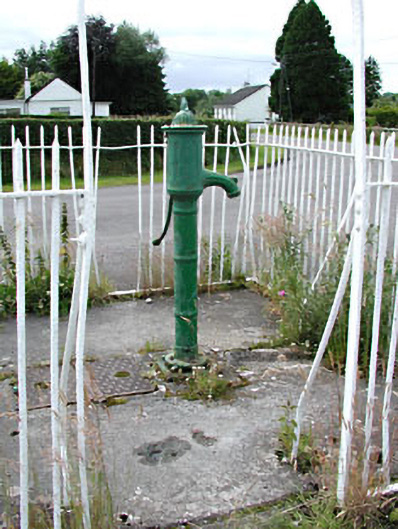 water pumpwater pump · 1488 yd
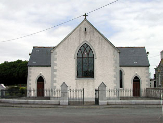 Catholic Church of the Holy Trinitychurch/chapel · 1510 yd
 IndicatedCastle, unclassified · 1.1 mi
 CastleCastle, tower house · 1.2 mi
 Enclosure in BallyheashillEnclosure · 1.6 mi
 Moat HillMountain / peak · 2.3 mi
 Roundhill WoodForest · 3.2 mi
 Knockdrin HillMountain / peak · 3.6 mi
 Rahin WoodsForest · 4.0 mi
 Croppies' GraveMemorial · 6.6 mi
 Allen family memorial headstoneMemorial · 9.7 mi
Other information
Photo: Credit not shown in the picture search · Rights wording not checked; contact us if this picture should be removed