What is recorded here
Situated in pasture on SE facing slope of rising fround in upland area with good views of mountian valley to S and E, higher ground to N. Nearby wedge tomb (TN039-009) to NNW and fulacht fiadh (TN 039-051) to SE. Monument consists of two low limestone orthostats, aligned E-W, and 2.48m apart. Both stones are roughly triangular in shape with rectangular sections and the tops of the stones are tapering towards a point. The W stone measures 0.9m H; 0.58m x 0.21m. The E stone measures 0.8m H; 0.60m x 0.30m. Local landowner has no recollection that they were ever erected as scratching posts for livestock.
Compiled by: Caimin O'Brien.
Date of upload: 22 September 2008
Probably dating to the Neolithic or Bronze Age, the stone row may have had ceremonial or astronomical significance, possibly aligning with solstices or local landscape features. Such arrangements are often associated with ritual activity or marking territorial boundaries in prehistoric landscapes.
The monument record does not grant public access. Check the route and ask the landowner before entering private land.
- What survives
- Recorded monument
Places near here
 Wedge tomb in Knockcurraghbola CommonsWedge tomb · 141 yd
 KnockmaroeMountain / peak · 1.1 mi
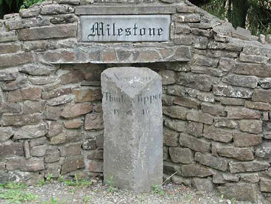 milestone/milepostmilestone/milepost · 1.7 mi
 Site of Cashlauncreen CastleCastle, tower house · 1.9 mi
 Hut site in AughvallydeagHut site · 2.1 mi
 Saint Patrick's National Schoolschool · 2.3 mi
 KnocknabanshaMountain / peak · 2.3 mi
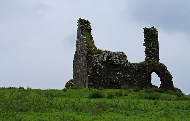 Bawn in Cullahill (glenkeen Par.)Bawn · 4.7 mi
 Drum WoodWood · 6.1 mi
 Killavalla WoodForest · 6.7 mi
 Silvermines ViewpointViewpoint · 8.7 mi
 Our Lady Assumed into HeavenMemorial · 9.5 mi