What is recorded here
A single upright (1.15m x 0.27m; 1.05m H) aligned NNE-SSW with a second stone prostrate beside it to the N (0.45m x 0.30m; 0.90m H if erect).
Compiled by: Paul Walsh
Date of upload: 19 September 2011
Likely dating to the Neolithic or Bronze Age, the standing stone may have had ritual or territorial significance. The fallen stone beside it may indicate an ancient collapse or deliberate toppling, possibly linked to later folklore or land use changes.
The monument record does not grant public access. Check the route and ask the landowner before entering private land.
- What survives
- Recorded monument
Places near here
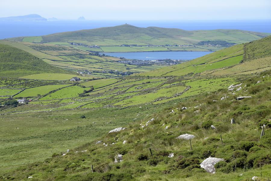 Enclosure in Conor's IslandEnclosure · 207 yd
 Connors IslandIsland · 892 yd
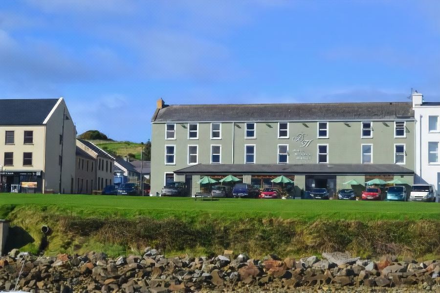 Tober PatrickHoly well · 1203 yd
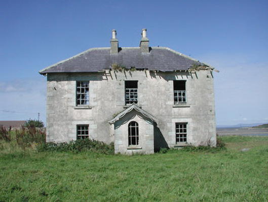 Mount Temple Housefarm house · 1589 yd
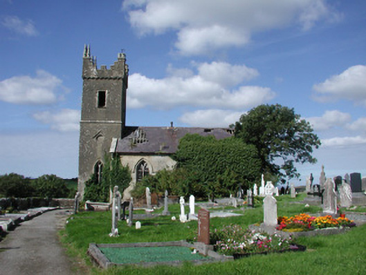 Ahamlish Churchchurch/chapel · 1.2 mi
 InishnagorIslet · 1.3 mi
 CastleCastle, unclassified · 2.0 mi
 Streedagh BeachVisitor information · 2.1 mi
 Trawalua StrandBeach / strand · 2.1 mi
 Atlantic SheepdogsHeritage attraction · 2.5 mi
 de Cuellar Armada MonumentMemorial · 2.6 mi
 Classiebawn WoodsWood · 3.0 mi