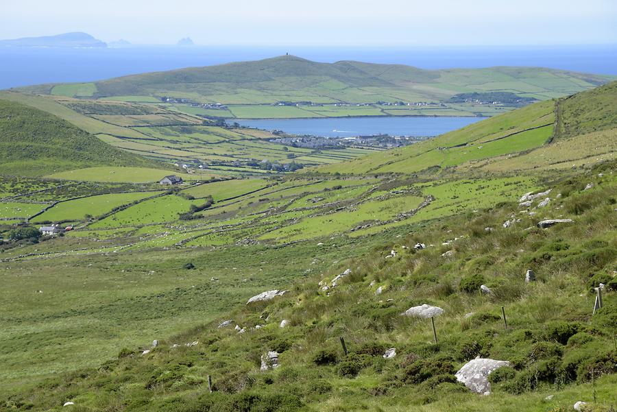
What is recorded here
In lowlying pasture, on the E side of Conor’s Island, at the NE end of the Streedagh peninsula. There is an area of dampish ground fed by a spring to W, and the shoreline is located c. 60m to S. This enclosure is not shown on any edition of the OS 6-inch maps. It is located in the W half of a rectangular, 19th-century field associated with a vernacular farmstead, the ruined buildings of which lie c. 60m to SE. The remains are evident as a D-shaped area (c. 43.5m NW−SE; 16.5m NW-SE) defined on the curving side by a low, partly levelled sod-covered bank (Wth 2.5-2.8m; H 0.2-0.4m) which describes a shallow arc N−SSE. The straight side at W is formed by the NW−SE drystone field wall which forms the W side of the rectangular field. There is no convincing evidence at ground level of a continuation of the bank to W of the NW−SE field wall. A low irregular rise extends E-W across the N half of the interior.
This monument may represent the E side of a circular enclosure (diam. 45-50m), the W half of which has been destroyed.
Image: SL002-036----_01 Viewed from E
Compiled by: Jane O'Shaughnessy
Date of revised upload: 26 July 2017
This remains an important historical record, but the official description says the monument is no longer visible or has been destroyed. The monument record does not grant public access. Check the route and ask the landowner before entering private land.
- What survives
- No visible remains or recorded as destroyed
Places near here
 Enclosure in Conor's IslandEnclosure · 509 yd
 Connors IslandIsland · 875 yd
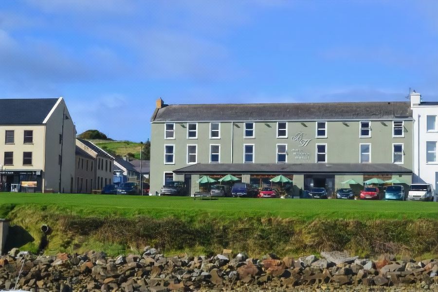 Tober PatrickHoly well · 1037 yd
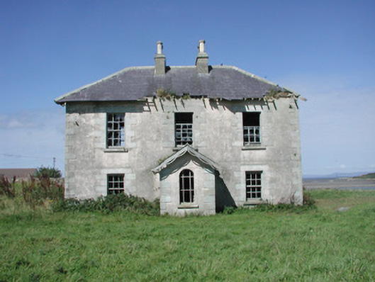 Mount Temple Housefarm house · 1383 yd
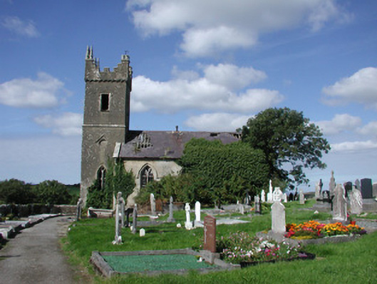 Ahamlish Churchchurch/chapel · 1.1 mi
 InishnagorIslet · 1.3 mi
 CastleCastle, unclassified · 1.9 mi
 Trawalua StrandBeach / strand · 2.1 mi
 Streedagh BeachVisitor information · 2.1 mi
 Atlantic SheepdogsHeritage attraction · 2.4 mi
 de Cuellar Armada MonumentMemorial · 2.6 mi
 Classiebawn WoodsWood · 3.0 mi
Other information
Photo: Credit not shown in the picture search · Rights wording not checked; contact us if this picture should be removed