What is recorded here
On a gradual SE-facing slope of a hill, in undulating terrain, under pasture. According to the landowner the standing stone had fallen over and he re-erected it though it may not be in the exact location or on the original orientation. He described packing stones at the base of the standing stone when it fall over. A deep slurry pond has been excavated immediately W of the standing stone and there is a large shed 4.6m to the N. There are good views to E, Galtees visible to the S and Slievenamuck mountain dominating the view to the SW. The view N is impeded by the rising slope. A red sandstone standing stone (H 1.38m; 0.64m x 0.46m), with very few inclusions. There are some small quartz pebbles visible at the SE side of the E face. The stone is currently aligned N-S along its long axis. It is rectangular in plan, tapering towards the top to a point, though this is partially the result of spalling. The outer surface of the lower portion of the E face is badly spawled.
See attached photographs:
TS066-202----_01 E face
TS066-202----_02 S face
TS066-202----_03 N face
TS066-202----_04 N face
Compiled by: Jean Farrelly
Date of upload: 7 November 2017
Likely dating to the Late Neolithic or Bronze Age, the stone may have served as a boundary marker, ritual focus, or astronomical alignment point. Local folklore sometimes associates such stones with ancient heroes or protective spirits, though specific traditions for this site are not recorded.
The monument record does not grant public access. Check the route and ask the landowner before entering private land.
- What survives
- Recorded monument
Places near here
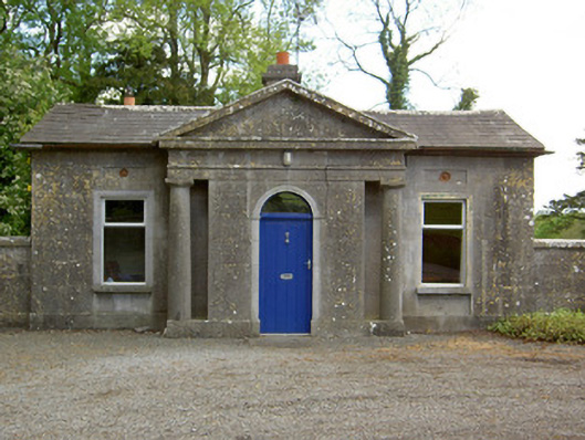 Mooresfort Housegate lodge · 1010 yd
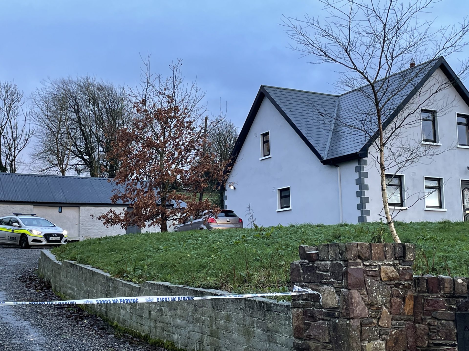 Enclosure in Kilross (clonbeg Par.)Enclosure · 1659 yd
 CastleCastle, ringwork · 1.1 mi
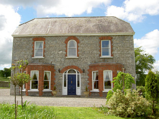 Saint Joseph'shouse · 1.2 mi
 Enclosure in MooresfortEnclosure · 1.4 mi
 MoatCastle, motte · 1.8 mi
 SlievenamuckMountain / peak · 2.2 mi
 Carn (site of)Cairn, burial cairn · 2.8 mi
 Duntryleague HillMountain / peak · 3.1 mi
 Darby's Bed Walk LoopWalking route · 3.1 mi
 Bansha ForestForest · 3.3 mi
 Giant's Rock - Rock of AglaishNamed rock · 4.8 mi