What is recorded here
Just off the crest of an E-W esker ridge, on the N-facing slope. A stone with a rectangular cross-section (dims 0.95m x 0.15-0.25m) is oriented N-S and achieves its greatest height (1.4m) at the S end.
Compiled by: Michael Moore
Date of upload: 24 August 2010
The monument record does not grant public access. Check the route and ask the landowner before entering private land.
- What survives
- Recorded monument
Places near here
 IndicatedFairy fort / earthen ringfort · 603 yd
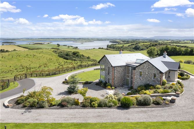 LissanierinFairy fort / earthen ringfort · 826 yd
 Saint Mary's Catholic Churchchurch/chapel · 1.6 mi
 Church in Pollanalty WestChurch · 1.8 mi
 Slieve DartMountain / peak · 2.9 mi
 CastleCastle, unclassified · 3.0 mi
 Dunmore CastleCastle · 5.3 mi
 Oak WoodForest · 9.0 mi
 Geoffrey's WoodForest · 9.9 mi
 Mass RockNamed rock · 14 mi
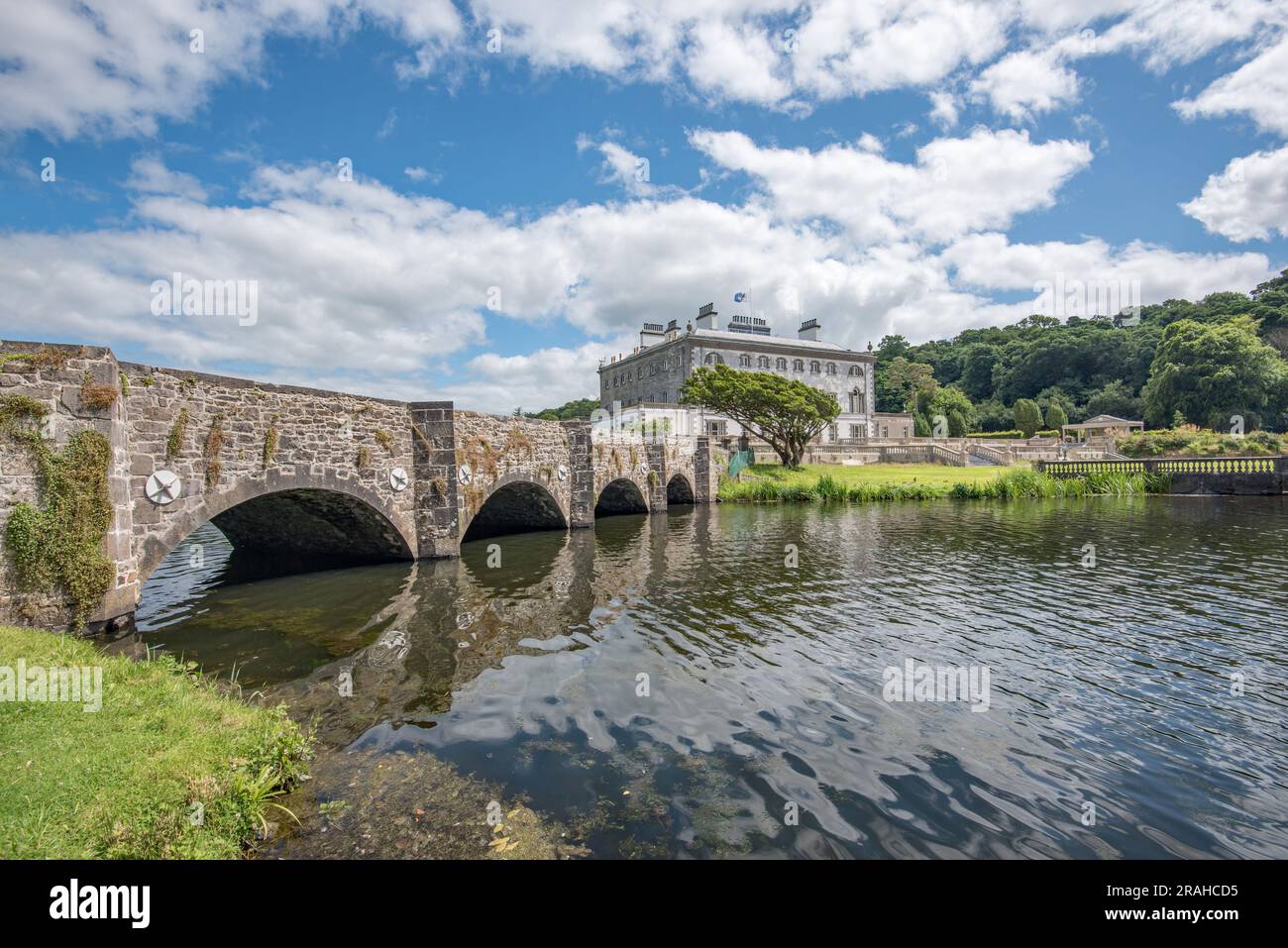 Enclosure in Levallyroe (costello By.)Enclosure · 858 yd
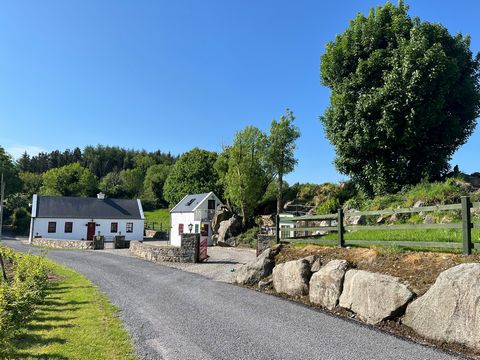 Doonfore FortFairy fort / earthen ringfort · 1.1 mi