What is recorded here
Towards the bottom of a gentle S-facing slope and known locally as Teampailín Mhuire. Rectangular grass-covered area covered in stones constitutes the children's burial ground (RO031-001----). The outline of a building that may be a church (int. dims 12m ENE-WSW; 4.2m NNW-SSE) can be seen in the rise of walls (Wth 2.2-4m; H 0.1-0.3m), apart from the W where there is a slight quarry. One stone (dims 0.22m x 0.15m; H 0.3m) has two faces that may be chamfers, and a second stone (dims 0.25m x 0.12m; H 0.2m) appears to have punch dressing. The burial ground was enclosed with a wall in 2003.
Towards the bottom of a gentle S-facing slope and known locally as Teampailín Mhuire. Rectangular grass-covered area covered in stones constitutes the children's burial ground (RO031-001----). The outline of a building that may be a church (int. dims 12m ENE-WSW; 4.2m NNW-SSE) can be seen in the rise of walls (Wth 2.2-4m; H 0.1-0.3m), apart from the W where there is a slight quarry. One stone (dims 0.22m x 0.15m;…
From the National Monuments Service (Archaeological Survey of Ireland) record RO031-001001
The monument record does not grant public access. Check the route and ask the landowner before entering private land.
- What survives
- Recorded monument
Places near here
Photo credits
- National Inventory of Architectural Heritage
- David Purchase, Geograph · CC BY-SA 2.0
- DanielecDalton, Wikimedia Commons · CC BY-SA 4.0
- Dougbermingham at en.wikipedia, Wikimedia Commons · CC0
- Willow, Wikimedia Commons · CC BY 2.5
- Andreas F. Borchert, Wikimedia Commons · CC BY-SA 4.0
- ClintMalpaso, Wikimedia Commons · CC BY-SA 3.0
- Enda O Flaherty, Geograph · CC BY-SA 2.0
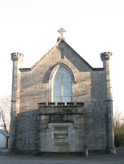 Saint Mary's Catholic ChurchChurch/chapel · 1.8 mi
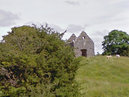 aviary/dovecote/pigeon house3.3 mi
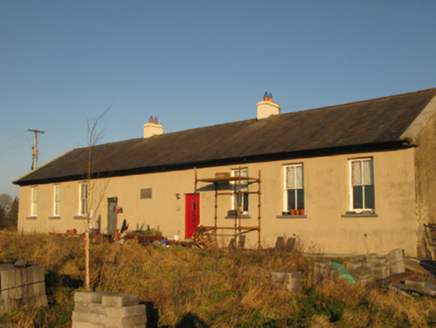 Saint Joseph's National SchoolSchool · 3.4 miSlieve DartMountain / peak · 3.4 mi
 Doonmacreena BridgeBridge · 3.6 mi
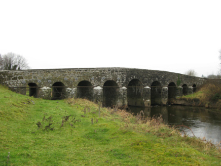 Doonmacreena BridgeBridge · 3.6 mi
 Dunmore CastleCastle · 4.3 mi
 Dunmore CastleCastle, hall-house · 4.3 mi
 European ash11 mi
 Cloigtheach (Round Tower)Round tower · 11 mi
 St. Marys CathedralCathedral · 12 mi
 KnockmaaWood · 16 mi
More historic places in County Roscommon · All of County Roscommon
What do you know about this place?