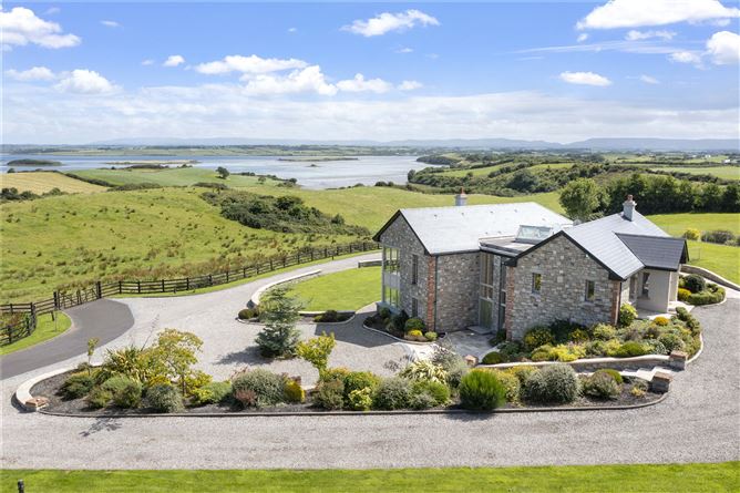
What is recorded here
Located on top of a ridge, with a fall of ground to S−SW. The rath now stands at the junction of several fields. Three fields, which abut the rath at NW, N and E, are occupied by modern houses with garden plots backing onto the rath. A pasture field borders the S arc of the rath.
This substantial, bivallate rath, named ‘Lissanierin’ on the 1838 and 1916 OS 6-inch maps, consists of a raised circular area (diam. 33.5m N−S; 32m E−W) defined by remnants of a bank, outside which it is enclosed by a fosse with an external bank.
The inner bank is largely reduced to a scarp (ext. H 0.8-1.2m). The fosse (Wth 4-4.5m) is well defined, broad and deep. The outer earthen bank (Wth 4.5m; int. H 1.9m; ext. H 1.3m) is substantial, with a broad internal slump into the fosse. It now serves as a field fence/property boundary, and the almost vertical external face is most likely a relatively recent modification related to this.
The interior is relatively level, with a very slight slope down to S. There is no clearly defined entrance; it may have been at ESE−SE where there is a hint of a causeway across the fosse (difficult to examine due to blackthorn scrub) and a break in the outer bank (Wth 4m at least).
The rath is thickly ringed with hawthorn, blackthorn, hazel and brambles; the interior is thickly covered in long grass, with blackthorn scrub encroaching on it from the perimeter, especially at E. There is a local tradition of a Man-made underground passage (MA103-036001-) in the rath.
Compiled by: Jane O’Shaughnessy
Date of upload: 11 November 2022
The monument record does not grant public access. Check the route and ask the landowner before entering private land.
- What survives
- Recorded monument
Places near here
 Enclosure in Levallyroe (costello By.)Enclosure · 138 yd
 IndicatedFairy fort / earthen ringfort · 324 yd
 Saint Mary's Catholic Churchchurch/chapel · 1.2 mi
 Saint Joseph's National Schoolschool · 1.6 mi
 CastleCastle, unclassified · 2.7 mi
 Slieve DartMountain / peak · 3.4 mi
 Dunmore CastleCastle · 5.6 mi
 Oak WoodForest · 8.7 mi
 Geoffrey's WoodForest · 9.6 mi
 Land of the GiantsHeritage attraction · 9.8 mi
 Mass RockNamed rock · 14 mi
 Doonfore FortFairy fort / earthen ringfort · 1126 yd
Other information
Photo: Credit not shown in the picture search · Rights wording not checked; contact us if this picture should be removed