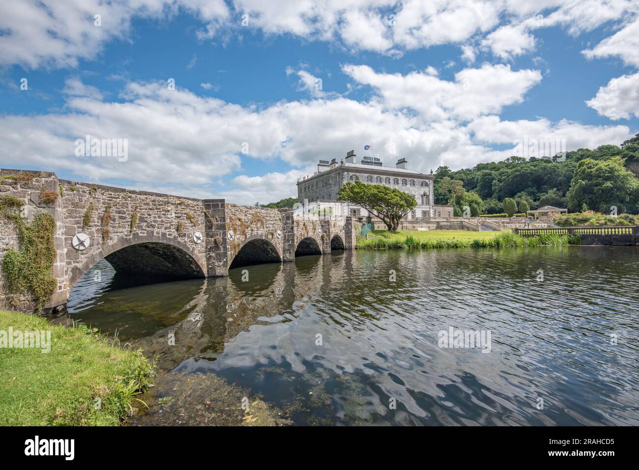
What is recorded here
In a pasture field, bordered at E and S by the junction of two roads. The terrain is gently undulating with a gradual fall of ground to S, and slight dip to N, with a wettish, rush-grown area at NW.
Shown on the 1838 OS 6-inch maps as a sub-rectangular field, with a rectangular house at the W corner, and bordered on the S and NE sides by roads; not shown on later map editions.
Knox (1911, 319-321) published a sketch plan and described a low trapezoidal platform defined by scarps, ‘enclosed by sides of which two are 85 [77m] and 88 yards [80m] long, and the third 58 yards [53m] from north to south’. The fourth side at NE measured 18 yards [16m]. There were slight traces of a shallow ditch in parts outside the enclosing scarp. Knox considered that it might have been a defensive work, with the scarps possibly ‘crowned by stockades or other defences.’
The remains consist of a grassy, slightly raised trapezoidal area defined by a partly levelled scarp (H 1.2m; Wth slope 3m) and at E and S by field fences bordered by the roads. The S side measures 72m; the NW side c. 60m; the short N side 18m; the E side 43m. The nature of this enclosure is uncertain; it appears to be simply the remains of an old field.
Compiled by: Jane O’Shaughnessy
Date of upload: 11 November 2022
A local fairy fort (ringfort/rath); wider significance not recorded.
The monument record does not grant public access. Check the route and ask the landowner before entering private land.
- What survives
- Recorded monument
Places near here
 LissanierinFairy fort / earthen ringfort · 138 yd
 IndicatedFairy fort / earthen ringfort · 435 yd
 Saint Mary's Catholic Churchchurch/chapel · 1.2 mi
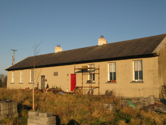 Saint Joseph's National Schoolschool · 1.5 mi
 CastleCastle, unclassified · 2.7 mi
 Slieve DartMountain / peak · 3.4 mi
 Dunmore CastleCastle · 5.7 mi
 Oak WoodForest · 8.8 mi
 Geoffrey's WoodForest · 9.7 mi
 Land of the GiantsHeritage attraction · 9.8 mi
 Mass RockNamed rock · 14 mi
 Doonfore FortFairy fort / earthen ringfort · 1064 yd
Other information
Photo: Credit not shown in the picture search · Rights wording not checked; contact us if this picture should be removed