What is recorded here
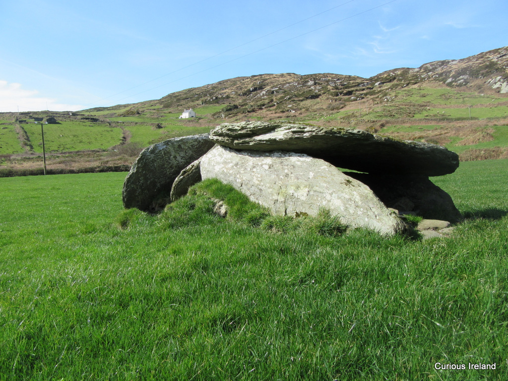
In pasture on W-facing slope. Sub-rectangular stone aligned NE-SW (H 0.95m; 0.6m x 0.4m). Ringfort (CO115-04801-) lies 5m to NW. (O'Brien 1970, 16).
The above description is derived from the published 'Archaeological Inventory of County Cork. Volume 1: West Cork' (Dublin: Stationery Office, 1992). In certain instances the entries have been revised and updated in the light of recent research.
Date of upload/revision: 14 January 2009
Probably dates to the Early Christian or Bronze Age period, given its proximity to a ringfort and typical megalithic traditions in the region. Its alignment and placement may have had ritual or territorial significance, though specific folklore or use is not recorded.
The monument record does not grant public access. Check the route and ask the landowner before entering private land.
- What survives
- Recorded monument
Places near here
 Killeenagh Burial Gd (Infants)Burial ground · 570 yd
 Holy well in CurradonohoeHoly well · 808 yd
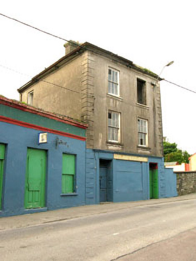 The Silver Dollar Barhouse · 830 yd
 Sarah Walker GalleryGallery · 1104 yd
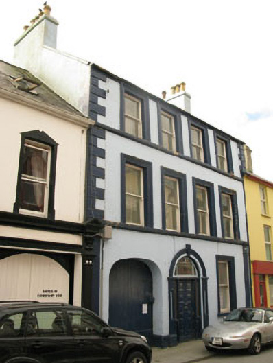 Even Tidehouse · 1108 yd
 Castle (in Ruins)Castle, tower house · 1198 yd
 Siege of Dunboysiege · 1220 yd
 Berehaven Battalion MemorialMemorial · 1317 yd
 Sheep IslandsIslet · 1624 yd
 Dinish IslandIslet · 1639 yd
 Burial ground in DerrycreeveenBurial ground · 1.0 mi
 TraneenBeach / strand · 1.1 mi