What is recorded here
Situated in a fold towards the top of a NE-facing slope. A mica-bearing stone, possibly granite, with a rectangular cross-section (dims. 0.7m x 0.45m; H 0.95m) is oriented NE-SW.
The above description is derived from the published 'Archaeological Inventory of County Waterford' (Dublin: Stationery Office, 1999). In certain instances the entries have been revised and updated in the light of recent research.
Date of upload/revision: 23 December 2008
The monument record does not grant public access. Check the route and ask the landowner before entering private land.
- What survives
- Recorded monument
Places near here
 Embanked enclosureFairy fort / earthen ringfort · 1137 yd
 Fulacht fia in KilmacthomasFulacht fia · 1375 yd
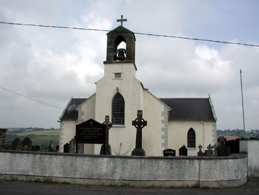 Saint Anne's Catholic Churchchurch/chapel · 1.1 mi
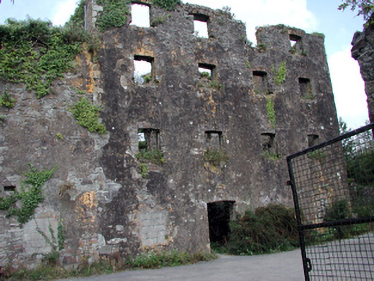 Carrigcastle Millmill (water) · 1.2 mi
 8 Arch GalleryGallery · 1.3 mi
 Site of Cas.Castle, unclassified · 1.4 mi
 Mandevilles RockCastle, unclassified · 1.6 mi
 Copper CoastCoastal geological landscape · 3.7 mi
 Bunmahon Miners' CottagesVisitor information · 3.7 mi
 Miners BucketVisitor information · 3.8 mi
 Ballydowane CoveBeach / strand · 3.9 mi
 Tra na mBoBeach / strand · 4.0 mi