
What is recorded here
St Nicholass Well hides at the base of a Cork rock outcrop, where clear water flows in from the south and out to the north. Locals remembered paying rounds at its cross-marked stone, while tradition claims the well belonged to St Cranith before an insulted traveller convinced its keeper to move it. The water may have changed names, but it never stopped flowing.
Marked but not named on 1842 OS 6-inch map; named on OS 1905 and 1935 maps. Well is at base of rock outcrop, with stream flowing in at S side and out at N side; very overgrown. Locally remembered that rounds were paid here and stone marked with sign of the cross. According to Byrne (1902, 88), Nicholas was brother to St Branait (13975) and St Cranith (13986). Well dedicated to St Cranith (14009) stood in walled garden of house (The Glen) c. 1 mile to NW; according to legend, it was moved to this location (and presumably renamed) when travelling man was insulted by woman of the house.
The above description is derived from the published 'Archaeological Inventory of County Cork. Volume 4: North Cork' (Dublin: Stationery Office, 2000). In certain instances the entries have been revised and updated in the light of recent research.
Date of upload/revision: 14 January 2009
Images provided by and copyright of Amanda Clarke 2016-2022 https://holywellscorkandkerry.com/
Linked to St Nicholas, the well is associated with traditional rounds or prayers paid by locals, likely for protection or healing. St Nicholas, a widely venerated Christian saint, is often connected with wells and sites of pilgrimage in Celtic regions, though specific cures at this well are not recorded.
The monument record does not grant public access. Check the route and ask the landowner before entering private land.
- What survives
- Recorded monument
Places near here
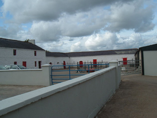 farmyard complexfarmyard complex · 122 yd
 Monanimy CastleCastle, tower house · 148 yd
 Church (Site of)Church · 224 yd
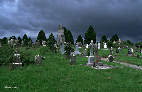 Grave YardGraveyard · 238 yd
 Railway bridge in Ballygriffin,monanimy LowerRailway bridge · 288 yd
 Killavullen CavesCave · 449 yd
 Cave in BallymacmoyCave · 455 yd
 Killavuleen LOOPVisitor information · 964 yd
 CastleCastle, tower house · 1.1 mi
 Anne's Grove GardensHeritage attraction · 3.6 mi
 Knocknaskagh North TopMountain / peak · 3.9 mi
 SeefinMountain / peak · 4.0 mi
Other information
Photo: Credit not shown in the picture search · Rights wording not checked; contact us if this picture should be removed